Read More


Morning Recap - July 14, 2026
3 hours ago


Night Recap - July 13, 2026
14 hours ago


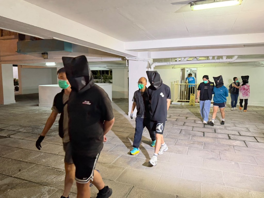
65 arrested as police bust illegal nightclub and gambling dens
12-07-2026 19:00 HKT


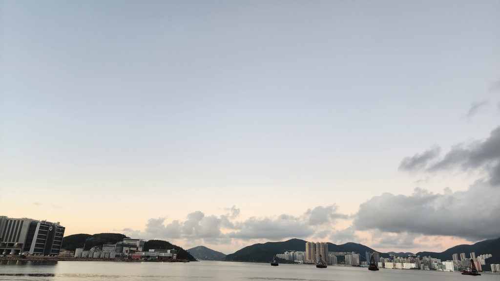
The Hong Kong Observatory (HKO) is set to hoist the Standby Signal No. 1 at 7.40pm tonight as Tropical Cyclone Matmo edges closer, poised to enter within 800 kilometers of the city and bring gusty winds, rough seas, and stormy showers over the weekend.
Forecasters predict that Matmo will sweep across the central and northern South China Sea in the coming days, tracking toward the region stretching from the Leizhou Peninsula to eastern Hainan Island.
The cyclone is expected to steadily strengthen, stirring up unsettled weather in Hong Kong starting late tomorrow through Sunday.
Residents can anticipate blustery conditions, choppy waters with significant swells, and bursts of heavy, squally rain.
The Observatory is closely monitoring the storm’s path, intensity, and proximity to the Pearl River Estuary to determine whether stronger warning signals will be needed during the day tomorrow.
The weather watchdog noted that so far this year, 27 tropical cyclones have affected the western North Pacific and South China Sea, with 12 prompting the issuance of tropical cyclone warning signals, including the impending Standby Signal No. 1 for Matmo. This breaks the record for the highest number of warning signals issued in a single year since 1946.