
Read More


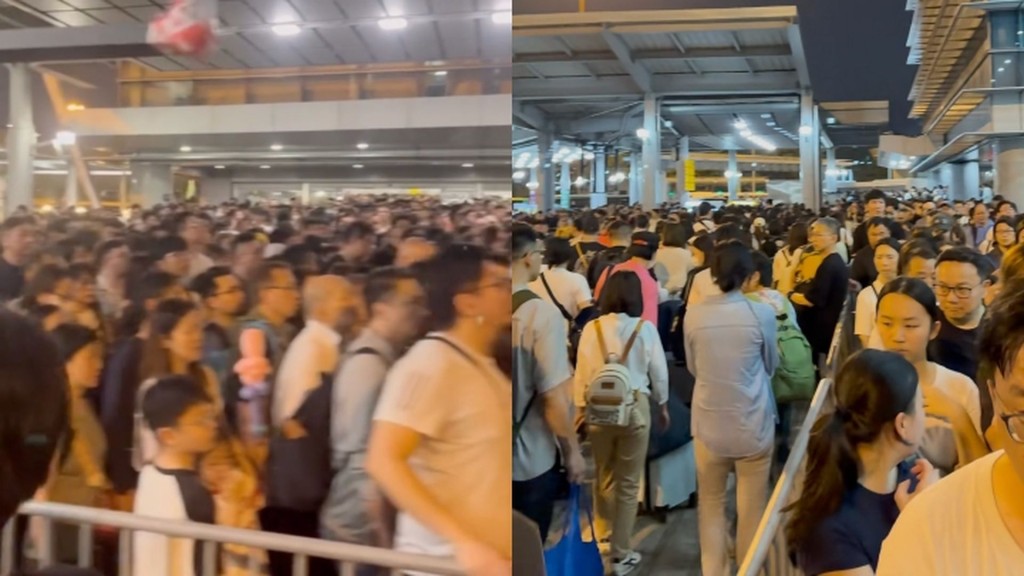
Long queues at border checkpoints as Easter holiday travellers return to HK
07-04-2026 02:45 HKT
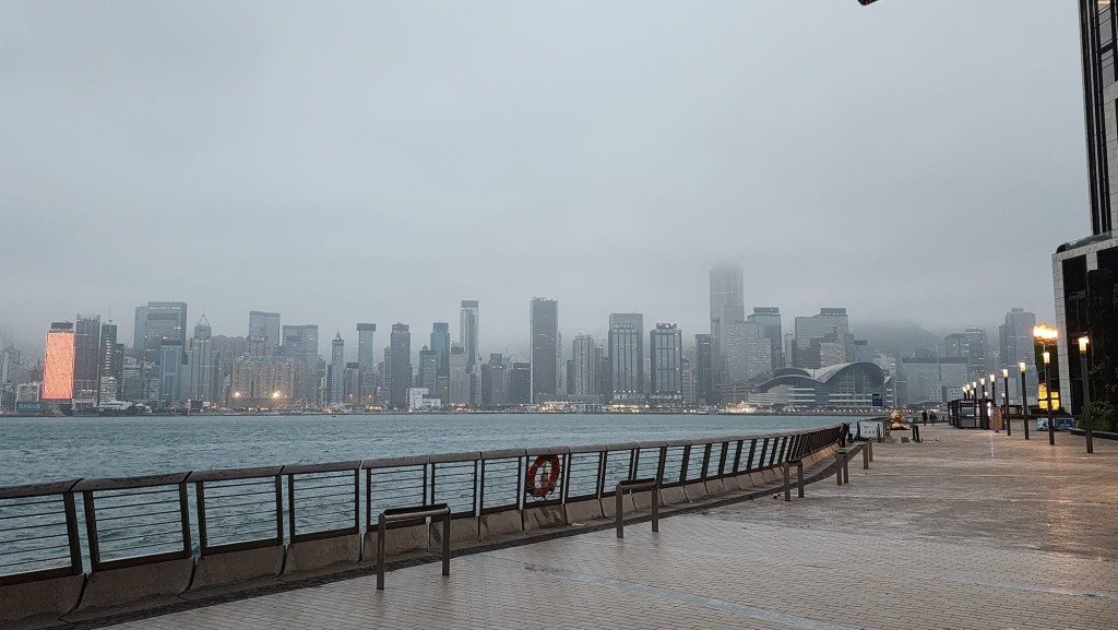
A tropical cyclone is approaching Hong Kong, with the No. 1 Standby Signal currently in effect, as the Hong Kong Observatory tracks its path. The storm, now within 800 kilometers of the city, is expected to come closest on Monday and may intensify into a severe tropical storm as it enters within 400 kilometers of Hong Kong.
The Observatory is monitoring the cyclone’s strength, its distance from the city, and local wind conditions to decide whether to raise the No. 3 Strong Wind Signal early tomorrow.
Weather conditions are expected to worsen over Sunday and Monday, bringing strong winds, heavy rain, thunderstorms, and rough seas to coastal areas.
Sunday will see winds strengthen to Force 5 to 6, with offshore and highland areas reaching Force 7 to 8. On Monday, southeast winds of Force 6 to 7 are forecast, with offshore and high ground areas initially hitting Force 8, before shifting to Force 5 southerly winds.
Force 8 winds, classified as a gale with speeds of 63 to 75 kilometers per hour, meet the criteria for a potential No. 8 Gale or Storm Signal.
If the cyclone strengthens without interference from other storms in the Northwest Pacific or South China Sea, it will likely become the 16th tropical cyclone of the year, named “Tapah” per World Meteorological Organization rules.