The Hong Kong Observatory has detailed the meteorological factors behind an exceptionally rare weather event that saw three black rainstorm warnings issued within just four days, with artificial intelligence models successfully predicting the extreme rainfall pattern a week in advance.
In an article published on its official website, the Observatory explained how three key atmospheric conditions combined to create what scientists described as a "train carriage" effect of successive heavy rainbands affecting the territory.
The unprecedented weather pattern began with a strengthening southwest monsoon that delivered continuous moisture to southern China's coastal areas.
This combined with an approaching upper-air disturbance and favorable high-altitude divergence conditions that enhanced atmospheric lifting, created ideal circumstances for sustained torrential downpours.
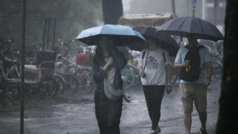
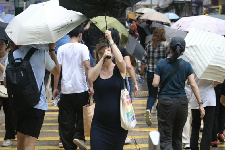
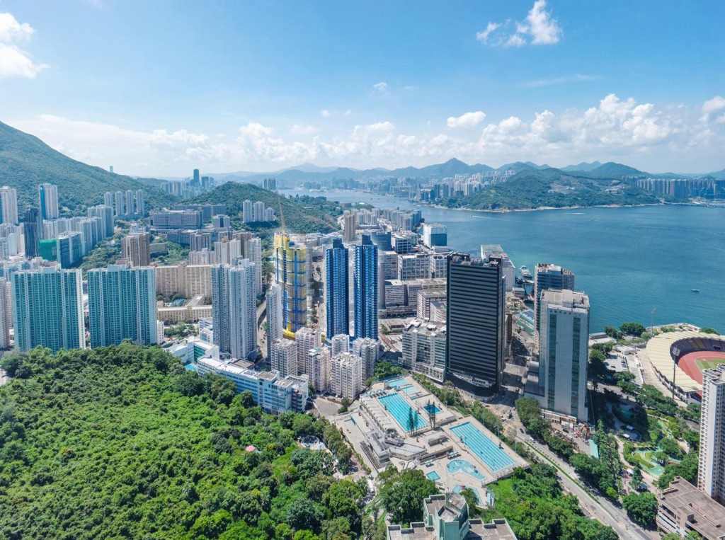
The first black rain warning came on August 2 when active monsoon winds triggered severe thunderstorms over the Pearl River Estuary, dumping over 70mm across most districts with New Territories, Kowloon and Tsing Yi exceeding 140mm.
Another intense system developed on the night of August 4, prompting an 11.45pm black rain alert as multiple areas recorded over 100mm, with Kwun Tong, Sai Kung and parts of Hong Kong Island surpassing 140mm.
The most severe deluge occurred on August 5 when expanding thunderstorm clusters moved eastward across Guangdong, forcing the Observatory to escalate warnings from red to black as northern districts, Tsuen Wan and Tai Po recorded hourly rainfall exceeding 100mm.
The 17-hour period from midnight to 5pm saw most areas accumulate over 200mm, with urban and eastern New Territories exceeding 300mm - shattering August records at the Observatory headquarters with 358.8mm.
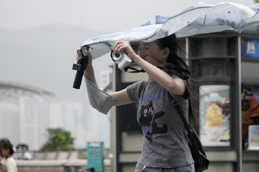
The relentless rains caused widespread flooding, landslides and flash floods across the territory while generating violent gusts and over 12,000 cloud-to-ground lightning strikes.
Transport networks faced severe disruptions with numerous road closures and public transport suspensions.
While the southwest monsoon and upper-air disturbance may still bring unstable conditions with occasional heavy showers on August 6, the Observatory forecasts improving weather later this week as these systems weaken, with gradually decreasing rainfall giving way to brighter skies and hotter temperatures.
(Marco Lam)