Read More


Amber rainstorm warning issued at 11am
12 hours ago


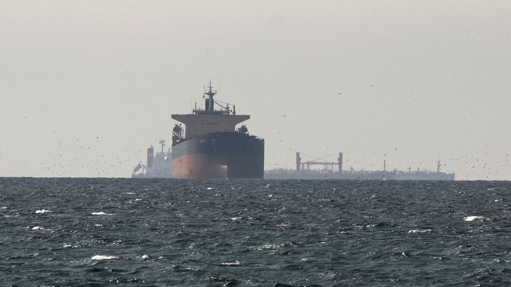
Iran demands transit fees in yuan, stablecoins for Strait of Hormuz passage
03-04-2026 02:45 HKT


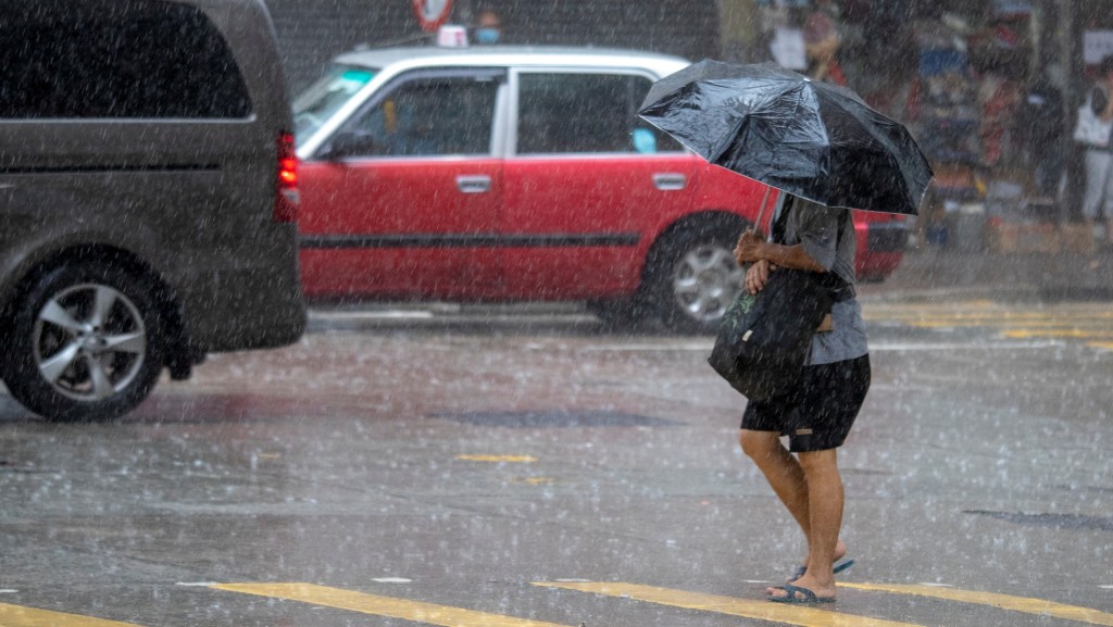
The Hong Kong Observatory (HKO) escalated its weather alert to the Red Rainstorm Warning Signal at 7.40pm Friday, indicating heavy rain has caused or is expected to cause serious flooding across the territory.
This urgent upgrade came just 30 minutes after the initial Yellow Rainstorm Warning was issued at 7.10pm.
Meteorologists reported exceptionally heavy rainfall concentrated in Sai Kung District, where observed or forecast hourly rainfall has exceeded 70 millimeters, creating a high risk of severe flooding.
Torrential downpours accompanied by violent wind gusts and severe thunderstorms continue to batter Hong Kong, with conditions deteriorating rapidly since the initial warning.
Prior to the Red warning escalation, the Observatory issued multiple Special Weather Alerts warning of dangerous conditions. The first alert indicated Hong Kong faced an imminent threat of hail within hours. A subsequent alert cautioned that heavy rain would likely impact widespread areas imminently, urging maximum public vigilance.
The weather watchdog confirmed that thunderstorms initially triggered by intense daytime heat are spreading from eastern districts across Hong Kong.
The situation remains volatile, with forecasters predicting damaging winds and intense thunderstorms to persist through the evening, bringing torrential rainfall to multiple districts.