Read More


Night Recap - May 22, 2026
11 hours ago


ImmD crackdown targets moonlighting domestic helpers arresting 17
19-05-2026 17:52 HKT

One dead, four injured in Jordan flat fire, 200 residents evacuated
22-05-2026 00:48 HKT
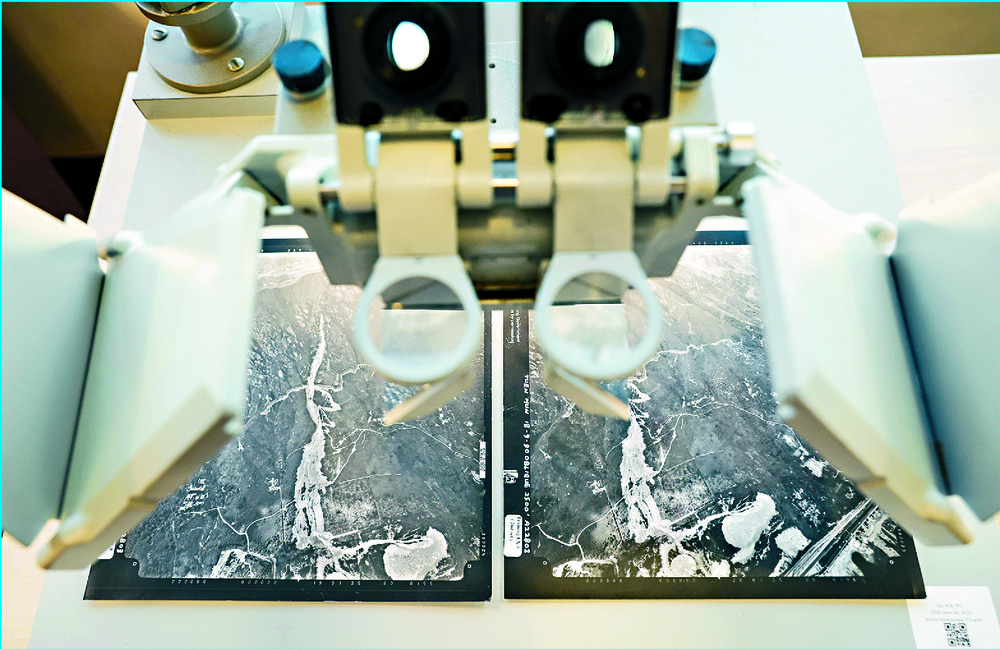
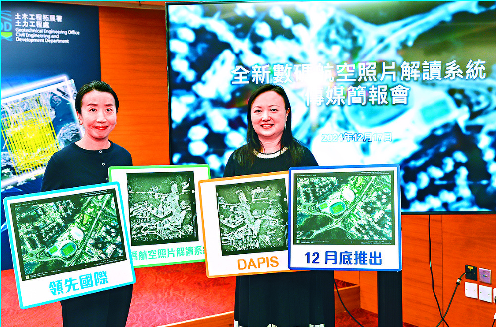
Hundreds of thousands of traditional paper-based aerial photos will be transformed into 3D digital data and images by the end of the year using the brand-new Digital Aerial Photograph Interpretation System of the Civil Engineering and Development Department's Geotechnical Engineering Office.
Aerial photos enable engineers to map geology and geomorphology of rock types, compile the catalog of man-made slopes, ascertain the history of land development, and assist in land planning and management, said Jenny Yeung Fei, deputy head of Geotechnical Engineering Office (Planning & Testing).
Engineers have had to visit the library in person to borrow photos and use special equipment to interpret them.
Amid the gradual full digitization of the Lands Department's aerial photo printing service, the GEO began developing its new system in late 2022.Its first phase saw 70,000 images transform from paper-based pictures into 3D digital data and imagery.
"With the new system, multiple users can view the same set of photos simultaneously, unlike traditional paper-based aerial photos, which can only serve one user at a time," said chief technical engineer Florence Ko Wan-yee.Regarding its application on slope safety management, Yeung said the new system can support the geotechnical industry, allowing it to borrow photos anytime for interpretation, improving efficiency. The system will initially be accessible to government departments and engineering personnel engaged in government projects. The GEO would continue to provide loan services for paper-based aerial photographs, Yeung added.
The general public still need to visit the Lands Department's Hong Kong Map Services 2.0 website to view or purchase aerial photos.stacy.shi@singtaonewscorp.com