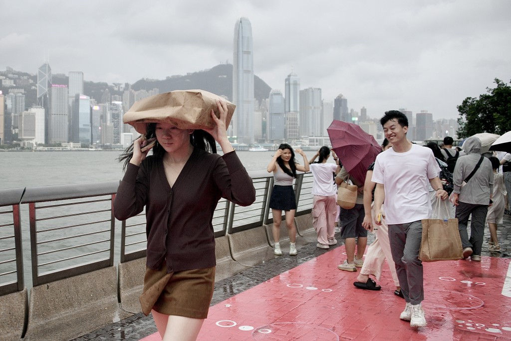
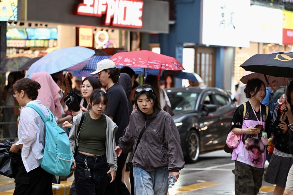
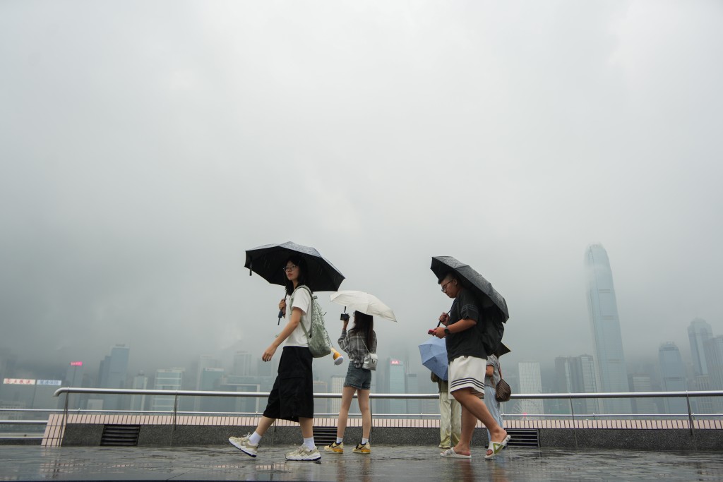
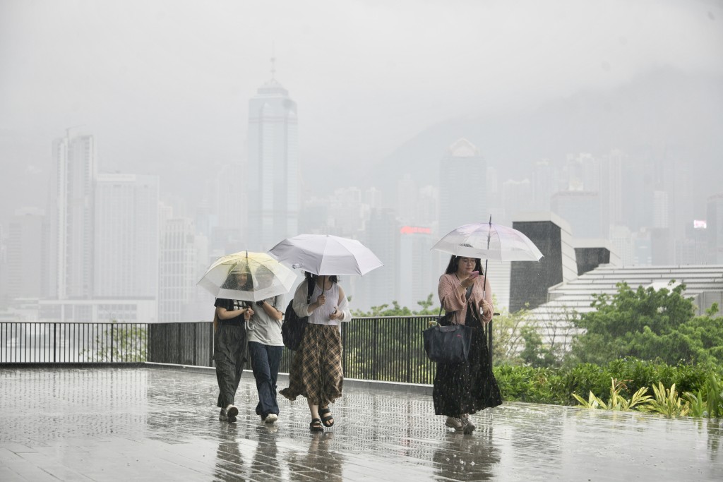
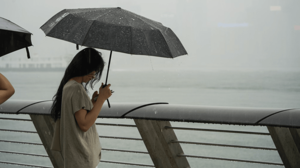
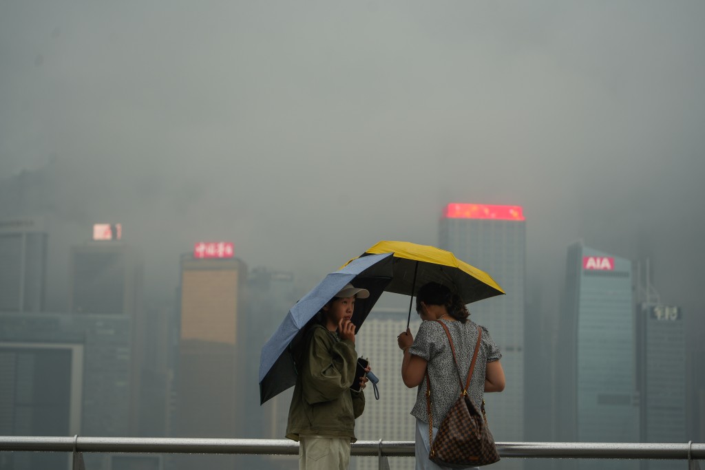
A northeast monsoon will gradually affect the coast of southern China on Tuesday, while upper-air disturbances will bring showers to the region, the Hong Kong Observatory said on Monday.
Under the persistent influence of the monsoon, weather over Guangdong is expected to become mainly fine and dry during the day in the middle and latter parts of the week.
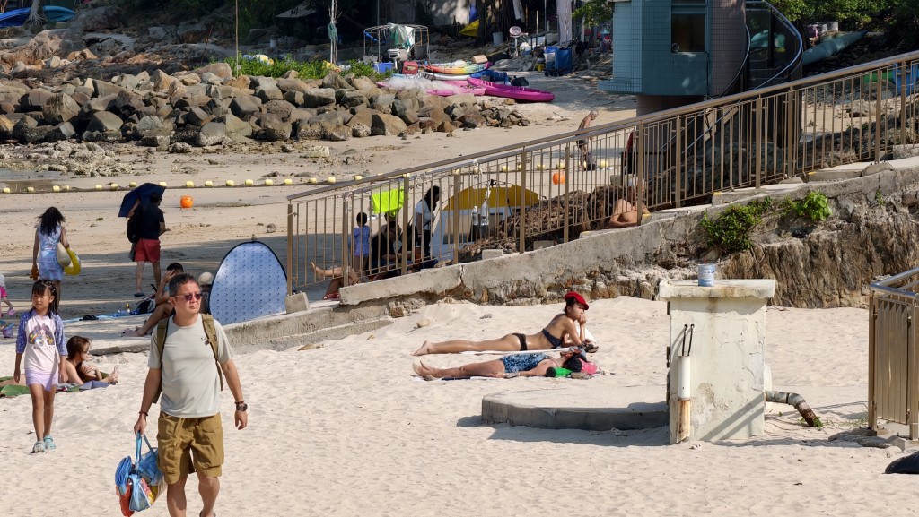
As the monsoon moderates over the weekend, conditions will turn hot, with isolated showers over parts of Guangdong.
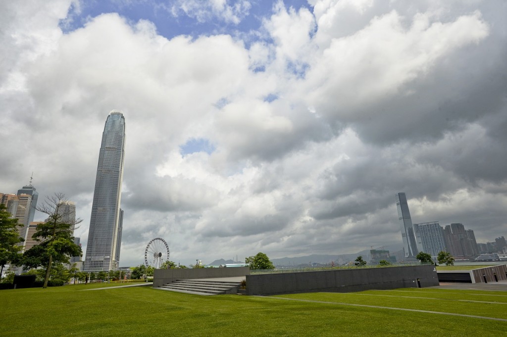
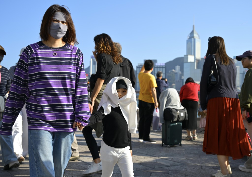
For Hong Kong, the Observatory forecasts mainly fine weather on Mid-Autumn Festival on Friday, with cloudy periods in the morning and at night and temperatures ranging from 27 to 32 degrees Celsius.
On Saturday, the day after the festival, it will be mainly cloudy with isolated showers, although sunny periods are expected during the day.
Meanwhile, a tropical cyclone is expected to develop gradually over the western North Pacific east of the Philippines in the next couple of days and move generally toward waters east of Luzon later this week.
The Observatory said its subsequent movement remained uncertain.
Model output from the European Centre for Medium-Range Weather Forecasts shown on the Observatory’s Earth Weather platform suggests a tropical cyclone could form over the northwestern Pacific between Wednesday and Thursday before moving generally northwest.
Under that scenario, the system could enter the South China Sea on September 29 and come closest to Hong Kong on September 30.
However, four artificial intelligence forecast models — ECMWF-AIFS, Fengwu, Fuxi and Pangu — show a different scenario, with the system moving toward and across Taiwan before making landfall along the Fujian coast between Fuzhou and Xiamen.