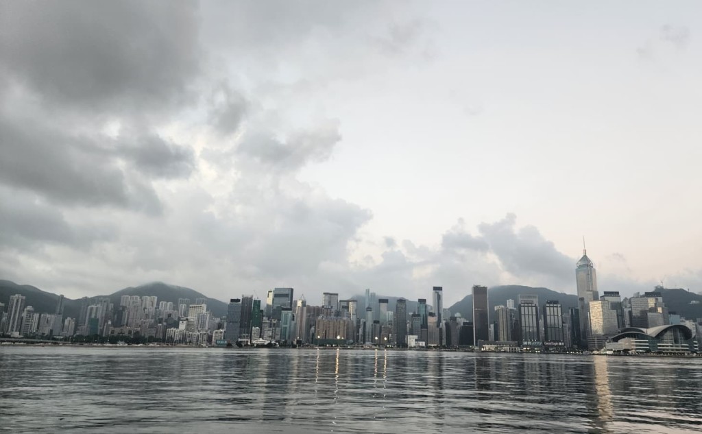
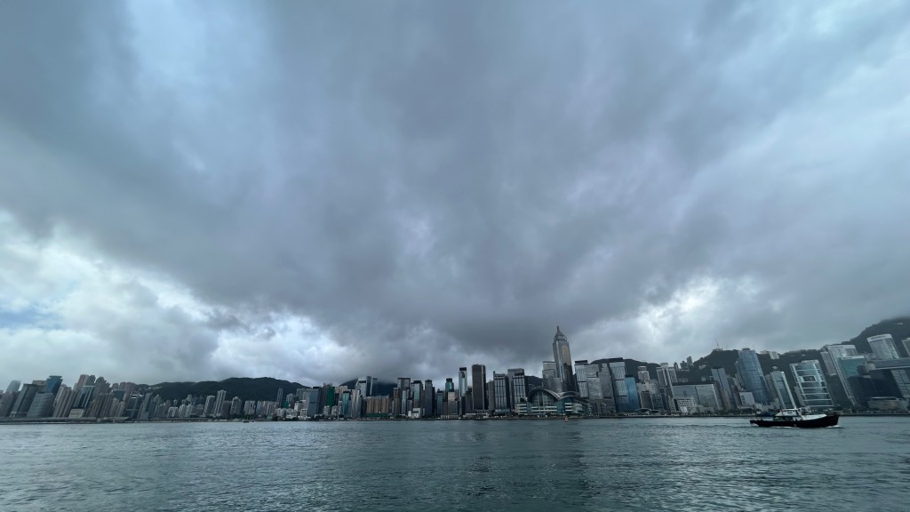
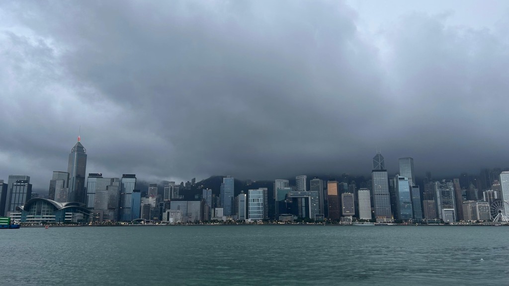
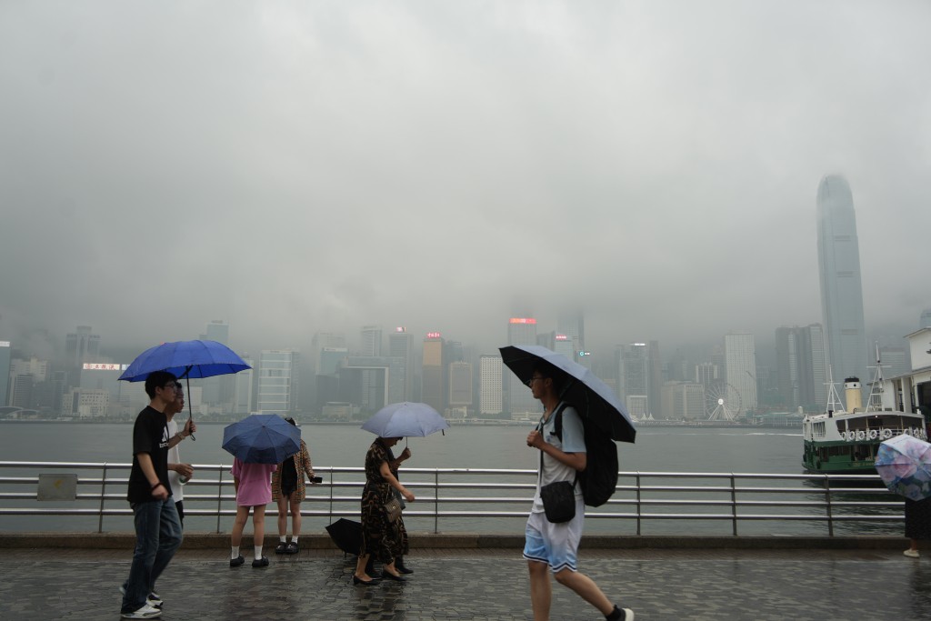
Students returning to classrooms this week are advised to keep an eye on the unsettled weather, as the Observatory forecasts that a developing low‑pressure system may strengthen into a typhoon along a rare path.
In its latest weather blog, the forecaster expects a broad trough of low pressure to bring showers and thunderstorms to Guangdong and the northern South China Sea through the next few days.
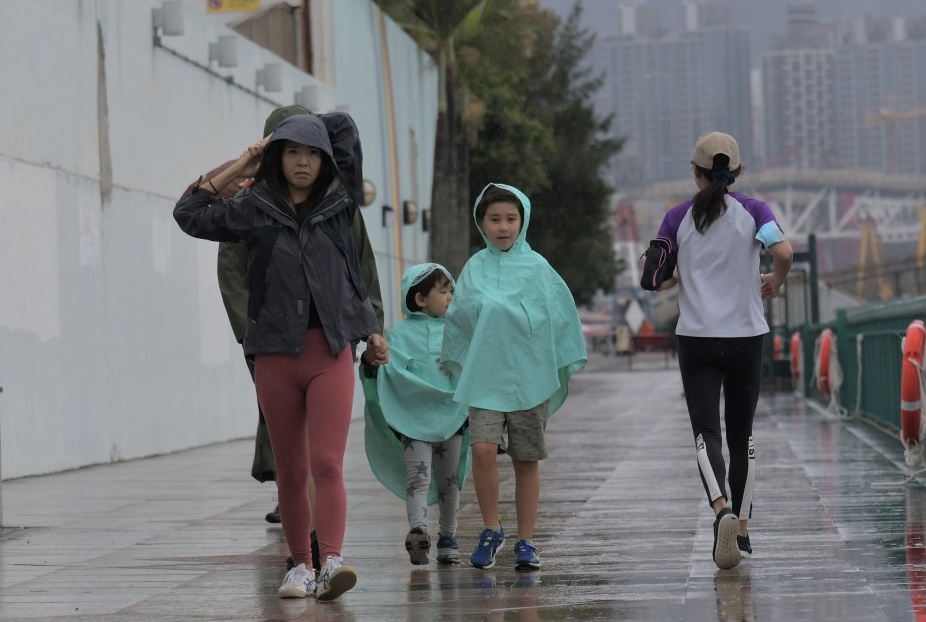
Notably, morning showers are anticipated on the first day of the new school year across different districts.
In addition, the gradually weakening Typhoon Suadel is forecast to affect the coast of the western part of southern China with its remnants over the coming two days.
Compounded by a relatively dry continental airstream, the unsettled weather is expected to persist through the middle and latter parts of this week.
In response, the Observatory noted that rainstorm warning signals or the Localized Heavy Rain Advisory may be issued depending on the weather conditions, advising citizens to check official updates before planning outdoor activities.
The forecaster also noted that a low‑pressure area may develop near Hainan Island and move eastwards across the northern South China Sea. However, its track remains uncertain, as active westerly troughs in September could drive continental air southward and complicate the weather forecast.
According to computer forecasting models, three scenarios are outlined for the week ahead, all pointing to a rare west‑to‑east track across the northern South China Sea.
In the first scenario, the low-pressure system is projected to develop into a cyclone near Guangdong, bringing gusty winds and heavy rain by mid-week due to the combined effect of its outer circulation and a continental airstream.
The second scenario sees the system strengthen but then accelerate northeastward toward the Taiwan Strait, leaving the Guangdong coast mainly under the influence of a continental airstream.
The third scenario forecasts that the low‑pressure area fails to develop, leaving the city under drier air with only isolated showers.
According to records, weather systems taking the west-to-east path include Tropical Storm Lupit in 2021, Tropical Cyclone Talim in 2012 and Tropical Storm Rachel in 1999.
The Observatory stressed it will continue to monitor the system and provide timely updates.