
Read More
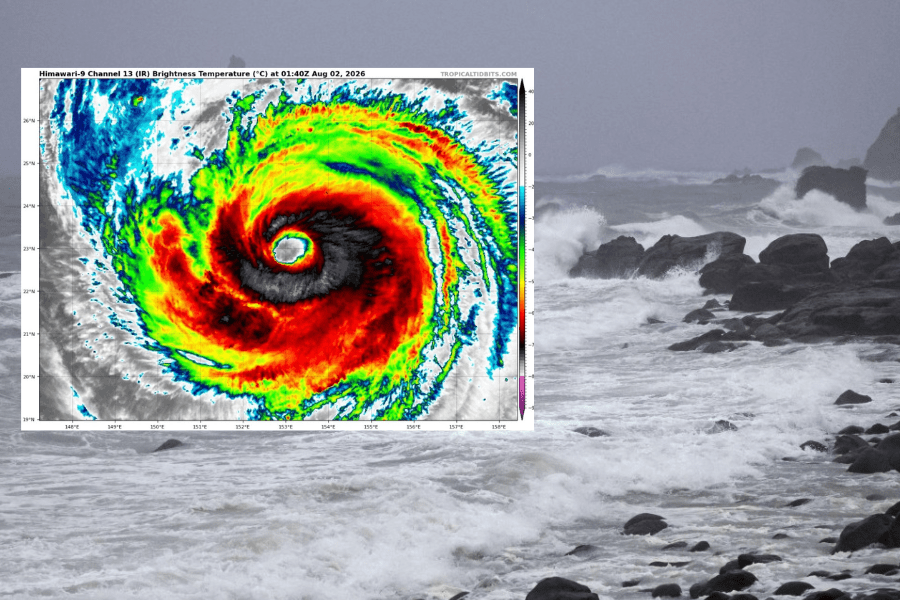
Super Typhoon Dolphin is surging to new strength after three eyewall replacement cycles, with forecasters warning that a nearby tropical depression Kujira could be "swallowed" by the system.
ADVERTISEMENT
SCROLL TO CONTINUE WITH CONTENT
Named after Hong Kong's iconic Chinese white dolphin, Dolphin is holding steady over the northwestern Pacific with super typhoon intensity, moving west-northwest from about 2,000 kilometers east of Okinawa.
According to the Central Meteorological Observatory of the China Meteorological Administration (CMA), Dolphin has completed three eyewall replacement cycles, which will likely push it to a new peak before slightly weakening under atmospheric changes.
However, the system is expected to maintain severe typhoon strength as it tracks west toward Japan's southern seas, with the Hong Kong Observatory projecting a high chance it will approach the East China Sea later this week.
The weather watchdog added that its outer subsiding air will likely bring sweltering heat to the southeastern coast of China, with high temperatures potentially triggering thunderstorms.
Meanwhile, a developing depression over the sea east of the Philippines, set to be named Kujira, is forecast to be short-lived as Dolphin approaches.
Under a Fujiwara Effect, the weaker Kujira would likely be absorbed by Super Typhoon Dolphin in the coming days, with limited space for development.
Multiple AI models from the Observatory suggest Kujira will intensify before landfall in the Philippines, but will then be steered northeastward and absorbed by Dolphin.