
Read More
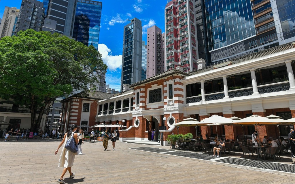
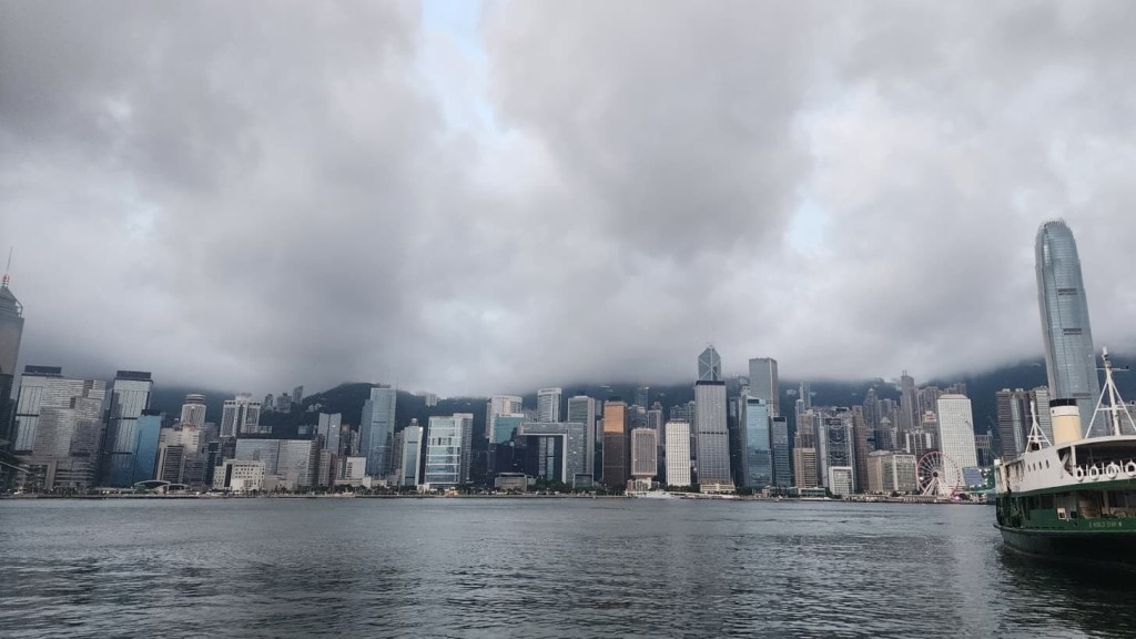
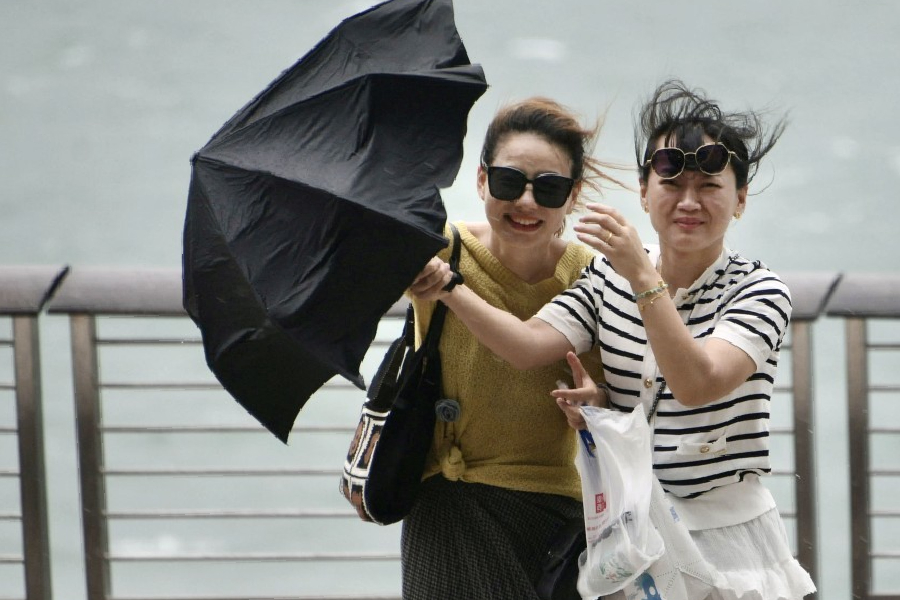
Hong Kong is bracing for what could become the strongest El Niño climate phenomenon in recorded history, with local forecasters warning of unprecedented heat and an elevated risk of super typhoons over the coming years.
ADVERTISEMENT
SCROLL TO CONTINUE WITH CONTENT
In a weather blog published today, the Hong Kong Observatory revealed that a powerful El Niño is currently forming.
Sea surface temperatures in the central and eastern equatorial Pacific are projected to rise continuously, developing into a full-scale El Niño event this summer that is expected to last until at least early next year.
Forecasters anticipate the event could reach a "strong to super" intensity level. Should the most extreme projections materialize, it would shatter historical records to become the most severe El Niño ever documented.
This abnormal warming of the Pacific Ocean significantly alters the behavior of tropical cyclones.
Because the warmest waters are concentrated further east during an El Niño, storms in the Northwest Pacific tend to generate further away from the Asian continent.
This eastward shift allows the cyclones more time to travel across the open ocean and absorb immense amounts of thermal energy, drastically increasing the likelihood of them developing into devastating super typhoons.
While these storm tracks are generally more prone to curving northward away from the region, meteorologists caution that the threat to Hong Kong remains high.
The actual danger relies heavily on the sheer size and intensity of these storms, rather than the total number of cyclones that form. Under specific atmospheric conditions, these supercharged typhoons can easily push into the South China Sea and strike the city directly.
Historical data illustrates this danger clearly. During the three previous El Niño years of 1997, 2014, and 2023, only a handful of tropical cyclones came within 500 kilometers of the territory.
However, the storms that did approach were so intense that all of those periods necessitated the issuance of a warning signal No. 8 or higher.
A stark reminder occurred in September 2023, when Super Typhoon Saola skirted a mere 40 kilometers from the Observatory headquarters, triggering the maximum Hurricane Signal No. 10 for the first time since Mangkhut in 2018.
Authorities are urging the public not to underestimate the accompanying threats of destructive winds, severe storm surges, and torrential rain.
Beyond the severe storm threat, the compounding effects of global warming and this potent El Niño are expected to trigger widespread abnormal heat.
Average temperatures in Hong Kong for this year and next are projected to be exceptionally high, bringing a very real possibility of setting new all-time heat records.
Residents are advised to stay vigilant regarding official heat warnings and the health impacts of extreme temperatures.
Furthermore, while El Niño typically brings wetter conditions to the city during the winter and spring months, the broader climate impacts will be felt year-round.
A warmer atmosphere can hold significantly more moisture, creating a volatile environment primed for sudden, intense rainstorms.
The Observatory cautioned that under the right conditions, the city remains highly susceptible to severe downpours and localized flooding, meaning residents must remain consistently prepared for volatile weather.