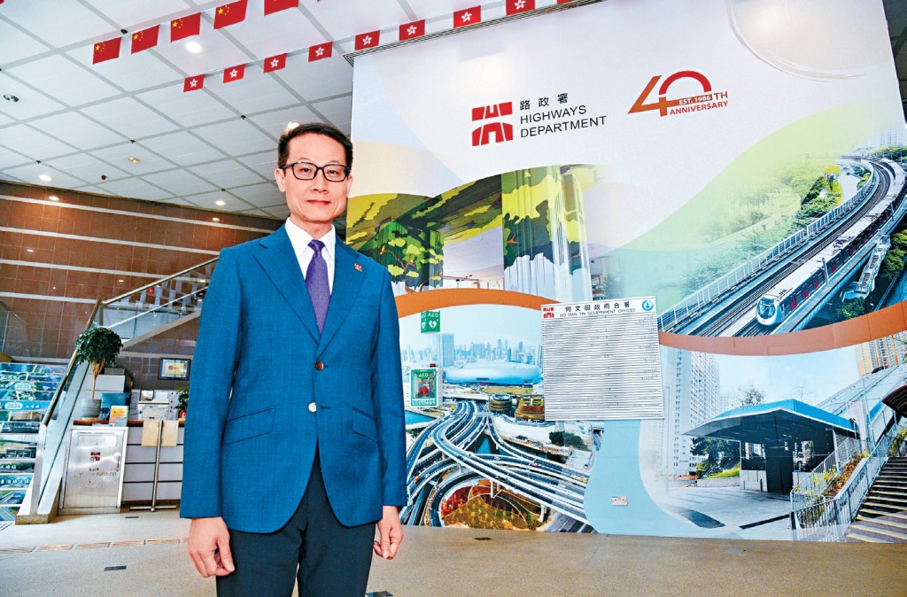
Four decades after its founding, the Highways Department is set to drive a new peak in transport infrastructure with the Northern Metropolis as its focus, according to Director of Highways Tony Yau Kwok-ting.
In an exclusive interview with Sing Tao Daily, the sister publication of The Standard, Yau outlined ongoing projects in the department to reshape the transport landscape amid Hong Kong's integration with the Greater Bay Area.
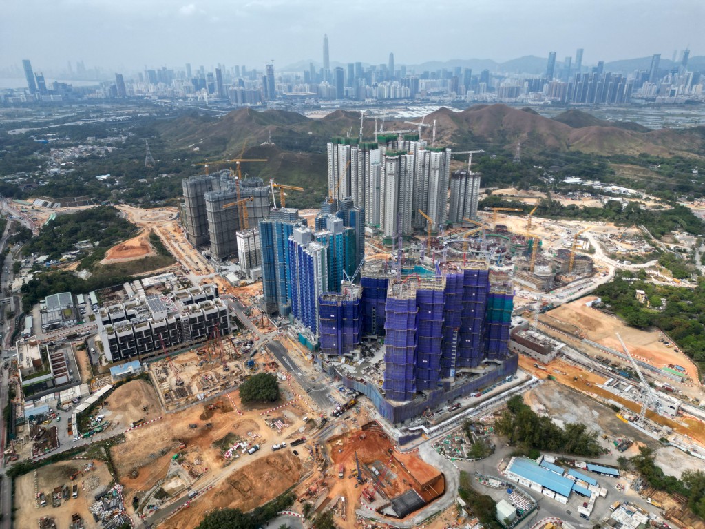
The Highways Department is set to drive a new peak in transport infrastructure with the Northern Metropolis as its focus.
Tracing the department’s evolution, Yau noted it was only established in 1986 amid rapid urban growth to oversee road design, construction and maintenance.
The department's 40-year history falls into four major phases, he said, with the first in the 1980s focusing on easing urban congestion and new town connections through projects like Island Eastern Corridor, Aberdeen Tunnel, Tolo Highway extension, Tuen Mun Road and Tate's Cairn Tunnel.
The second phase in the 1990s centered on projects such as North Lantau Highway, the Airport Express, Tsing Ma Bridge, Ting Kau Bridge and Western Harbour Crossing to open up transport links to the new airport in Chek Lap Kok and drive Tung Chung New Town Extension's development.
Yau said the “Ten Major Infrastructure Projects” marked the third phase in the 2000s, where the railway network was expanded with the West Rail Line, the Tseung Kwan O Line and the Ma On Shan Line, slashing travel times for residents in the Northwest New Territories and other new towns. Notably, the completion of the Kong Sham Western Highway, Shenzhen Bay Bridge and Stonecutters Bridge also strengthened connections to the airport, container terminals and border checkpoints.
As for the fourth phase over the past decade, Yau pointed to cross-boundary projects including the Hong Kong-Zhuhai-Macao Bridge and the Hong Kong Section of the Guangzhou-Shenzhen-Hong Kong Express Rail Link, which have promoted connectivity with Greater Bay Area cities. He added that the Tuen Ma Line, the East Rail Line Cross-Harbour Extension and the Central Kowloon Bypass (Yau Ma Tei Section) have further optimized the city's transport network.
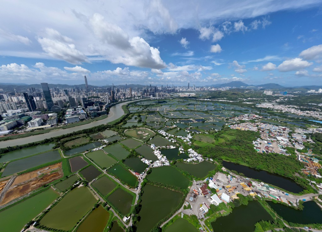
"Every new development brings a peak in transport infrastructure," Yau said, describing the Northern Metropolis as the next focus for the department. He highlighted the concurrent development of the Northern Link – or NOL – Main Line and Spur Line, noting the branch will extend from San Tin to the new Huanggang Port, with intermediate stops at Chau Tau and The Loop.
The expanded link will connect with Shenzhen Metro Line 7 and the Guangzhou-Shenzhen intercity railway, cutting cross-border travel times for citizens, he added.
Yau further revealed that the department is reviewing the detailed planning and budget for the Spur Line in preparation for the (Part 2) Project Agreement signing. He anticipated that the scheme will be gazetted within this year, along with an environmental impact assessment to the Environmental Protection Department.
To speed up project delivery, the department also launched its first Hong Kong Railway Standards, allowing a wider range of technologies and materials for construction. With a new Railway Checking Unit halving approval times, Yau expects the NOL to see costs cut by 20 percent and the project completion brought forward by two years, with both lines opening by 2034.
Linking the Northern Metropolis with multiple development zones and land border control points, he stated the authorities are pushing forward the city's largest single road project – a 24-kilometer Northern Metropolis Highway, which is five to six times longer than the Central Kowloon Bypass (Yau Ma Tei Section).
He added that the department is also working towards Route 11 – a highway section between Yuen Long and North Lantau – which aims to strengthen connectivity between the Northern Metropolis and the Harbour Metropolis.
On the Hong Kong-Shenzhen Western Rail Link, which has accelerated preliminary work in alignment with the national 15th Five-Year Plan, Yau stated that a trip from Hung Shui Kiu to Qianhai will take approximately 15 minutes, facilitating convenient cross-boundary trips via the Shenzhen Bay Port upon operation.
New tech spurring East Kowloon Smart Transit progress
The East Kowloon Smart and Green Mass Transit System, once stalled by high costs and technical limits, is back on track after the Highways Department turned to advanced medium- and low-capacity rail systems from the mainland and abroad to replace the heavy rail system proposed in 2014, now aiming for project operation by 2033.
Director of Highways Tony Yau Kwok-ting said a tender will be issued next month, with the contract expected to be awarded next year. The proposed 7-kilometer network will serve over 300,000 residents across the hilly eastern Kowloon area, who have long depended on minibusses and buses for travel.
Principal Government Engineer (Railway Development) Eddie Leung Siu-kong highlighted the new system’s strong climbing ability supported by a lightweight design and flexible alignment to overcome the complex terrain – all without overhead power supply.
Compared with the heavy rail option, the innovative technology under the new system significantly shortens construction time and reduces costs.
The nine-station route, stretching from Choi Hung to Yau Tong, will reduce the travel time between Po Tat and Yau Tong or Choi Hung to 10 to 15 minutes, halving current road times and easing congestion.
To ease financing pressures, Leung said the government will grant development rights of three residential sites at a nominal premium.
The plan won unanimous support from the Wong Tai Sin, Kwun Tong and Sai Kung district councils for gazettal.
The Mass Transit System will serve over 300,000 residents with nine stations.
Automated data system tracks extreme weather damage across city
With extreme weather on the rise, Highways Department director Tony Yau Kwok-ting said the department is adopting an automated system that collects real-time information on flooding, fallen trees and road obstructions from multiple sources to track damage across the city to facilitate swift follow-up actions.
The centralized data system, referencing sources including those from the 1823 hotline and other government departments, enables the department to complete an initial inspection of all roads across the city in about two hours. "It is possible to check where flooding has occurred, the location of fallen trees and how many blocked streets [there are] via phone or computer," he said.
When Super Typhoon Ragasa hit the city last year, Yau reported that the department cleared fallen trees across the city within just over 10 hours – a record made possible by the new system. He noted the department also conducts pre-season inspections of flood blackspots and tree health before the rainy season.
Meanwhile, to strengthen responses to fallen trees, the department has also established a close coordination mechanism with the Fire Services Department to share data and coordinate actions.
The department cleared all fallen trees in about 10 hours when Super Typhoon Ragasa hit the city.