Read More


Night Recap - July 7, 2026
2 hours ago


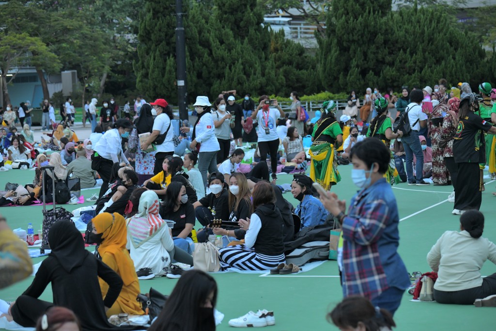
Domestic helpers' union seeks $6,670 minimum wage
05-07-2026 19:27 HKT


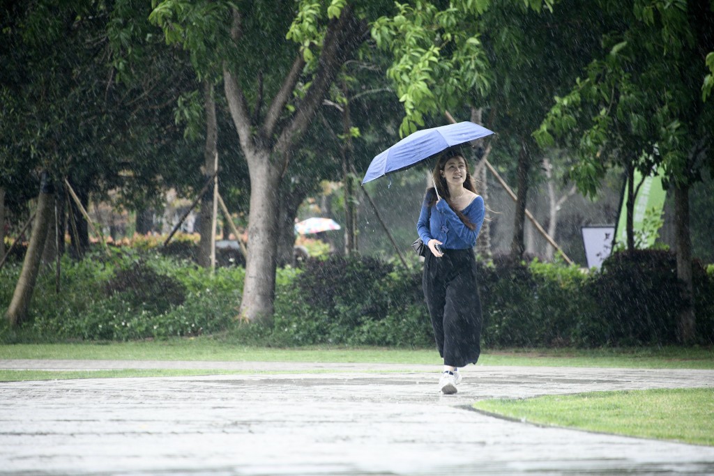
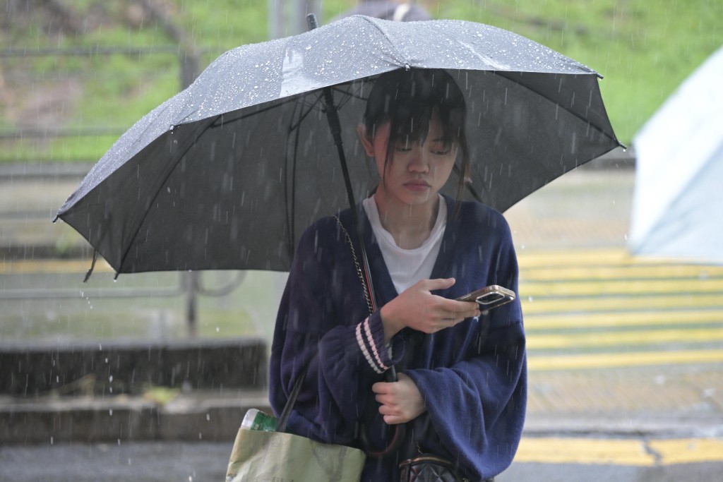
A cold front moving toward southern China is expected to bring cooler temperatures and unsettled weather to Hong Kong later this week, with forecasters warning of heavier showers and thunderstorms in the coming days.
The Hong Kong Observatory said on Tuesday that an upper-air disturbance is currently affecting Guangdong, while a trough of low pressure over central China is forecast to develop into a cold front and move across the southern coast later on Wednesday.
Under these conditions, showers in Hong Kong are expected to become heavier at times tomorrow.
Temperatures are set to fall progressively, with the minimum in urban areas expected to drop to around 20 degrees Celsius on Thursday morning, and a couple of degrees lower in the New Territories.
Unsettled conditions and thunderstorms
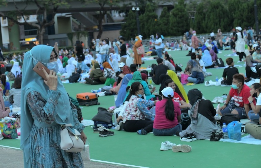
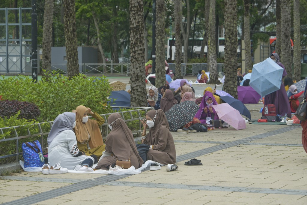
In the meantime, the city will experience mainly cloudy conditions with intermittent showers and isolated thunderstorms later today. Temperatures are forecast to range between 24°C and 28°C, with moderate east to southeasterly winds, occasionally fresh on higher ground.
The Observatory said the upper-air disturbance will bring heavy showers and squally thunderstorms to the region tomorrow, contributing to unstable weather conditions across Guangdong and Hong Kong.
Rainy spell expected into next week
Looking ahead, another trough of low pressure is expected to affect southern China from the weekend into early next week, bringing a prolonged period of unsettled weather.
Forecasters said the region could see up to six consecutive days of rain starting from May 2, with temperatures generally ranging between 24°C and 28°C. Conditions are expected to remain humid and changeable, with occasional showers persisting into early next week.
𝗙𝗼𝗹𝗹𝗼𝘄 𝘁𝗵𝗲 𝗰𝗼𝗺𝗺𝘂𝗻𝗶𝘁𝘆 𝗼𝗳 𝗧𝗵𝗲 𝗦𝘁𝗮𝗻𝗱𝗮𝗿𝗱↓