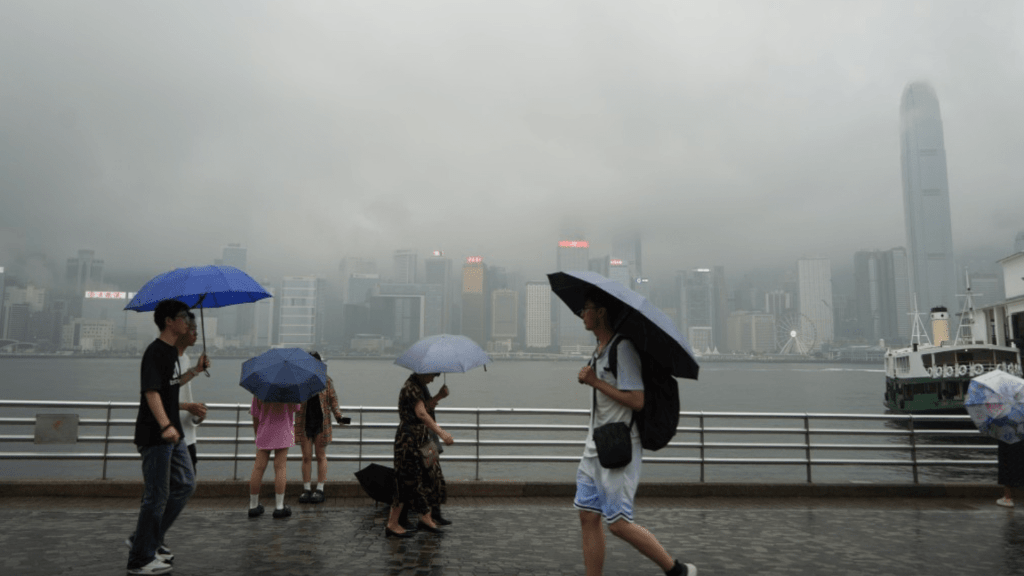
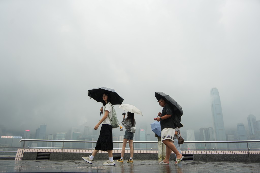
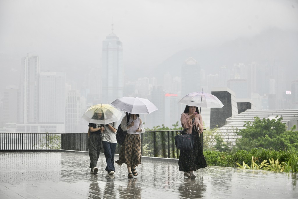
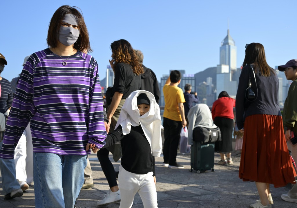
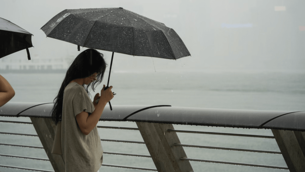
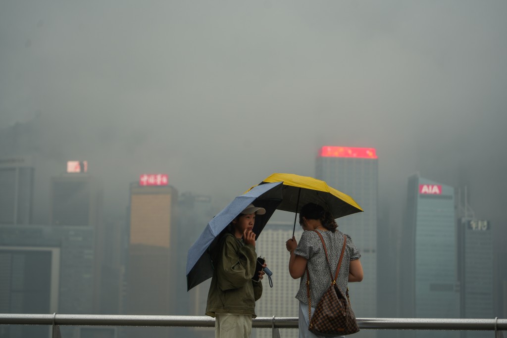
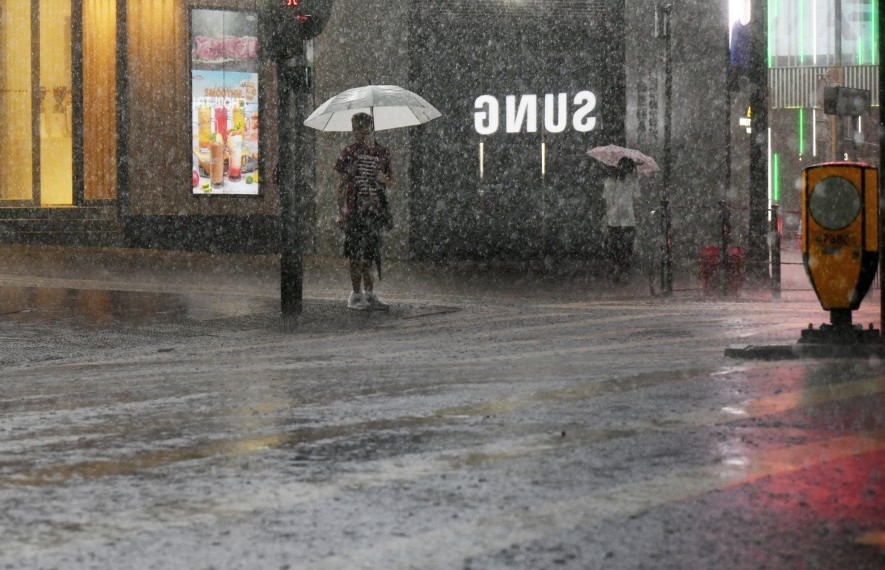
Hong Kong is set to experience its first significant rainfall of the year this weekend as a developing trough of low pressure moves south, bringing unstable weather to the region.
The Hong Kong Observatory forecasts frequent rain over the next eight days with humidity reaching up to 95 percent. A rainband associated with the trough has already been active over northern China, and as the system moves south, the Guangdong coast will see occasional showers and isolated thunderstorms over the coming days.
On Saturday, an easterly airstream will converge with warm, humid southerly winds over the Pearl River Estuary, creating conditions favorable for convection development. This could bring the year's first notable rainfall to Hong Kong, though the exact timing and location of the rain remains variable.
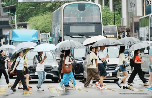
Early next week, a southerly airstream will dominate, bringing warm, humid weather with light showers. A subsequent northeast monsoon could then interact with warm air, potentially forming a cold front and cooler conditions. If wind shear and atmospheric instability align, thunderstorms or even a "squall line" – known locally as "Shi Hu Feng" – could develop.
Squall lines are fast-moving bands of severe thunderstorms that bring sudden wind shifts and gusts that can exceed 100km/h. A powerful squall line struck Hong Kong on May 9, 2005, with Kwai Chung recording gusts of 135km/h, toppling containers and causing casualties.
Next Tuesday marks the Lantern Festival and a total lunar eclipse, but heavy clouds could obscure the view. Temperatures are expected to range between 19 and 24 degrees Celsius.
On March 5, the solar term "Jingzhe" (Awakening of Insects) arrives, traditionally marked by spring thunder and the folk custom of "petty person beating" to ward off misfortune.