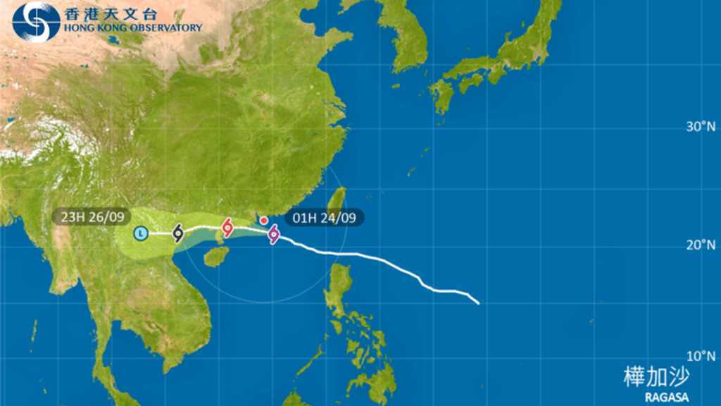
Super Typhoon Ragasa broke multiple weather records as it swept through the region on Tuesday, according to Macao's Meteorological and Geophysical Bureau. The storm marked the first time since records began in 1968 that Macao issued two No. 10 typhoon signals within the same year.
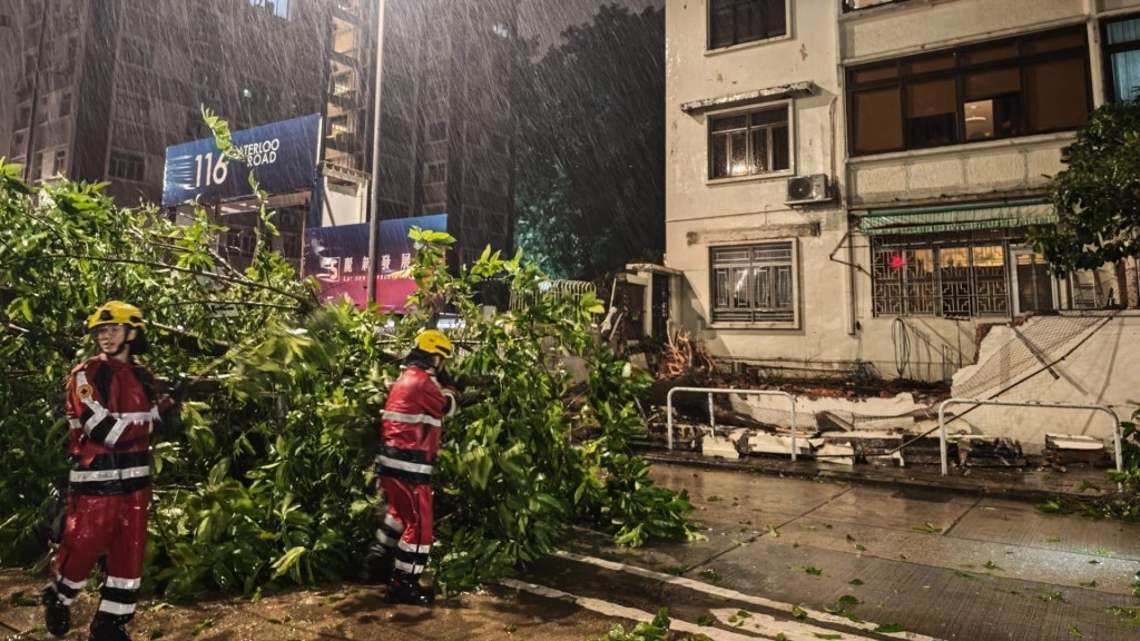
Ragasa set three key records: becoming the most distant No. 10 signal issued while located 90 kilometers away, maintaining the signal for the longest duration at 10.5 hours, and producing the longest period of No. 8 signal-level winds lasting 15 hours. During the typhoon's passage, Macao recorded maximum 10-minute average winds reaching Force 12 with gusts up to Force 14.
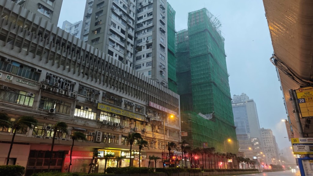
The bureau highlighted Ragasa's double eyewall structure as particularly significant, explaining that this feature allowed the storm to maintain hurricane-force winds despite passing at a relatively greater distance. While mature tropical cyclones typically develop a single eyewall surrounding the eye, intense systems like Ragasa often undergo eyewall replacement cycles forming concentric eyewalls.
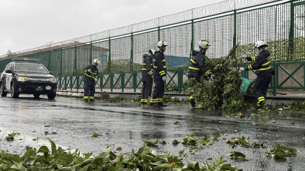
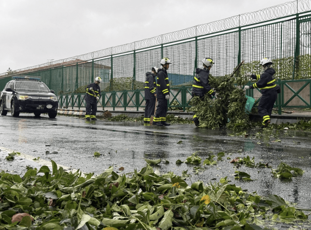
As Ragasa entered the South China Sea moving west-northwest toward the Guangdong coast, it passed about 90 kilometers south of Macao. The storm's outer eyewall continuously affected the territory with sustained Force 12 hurricane winds.
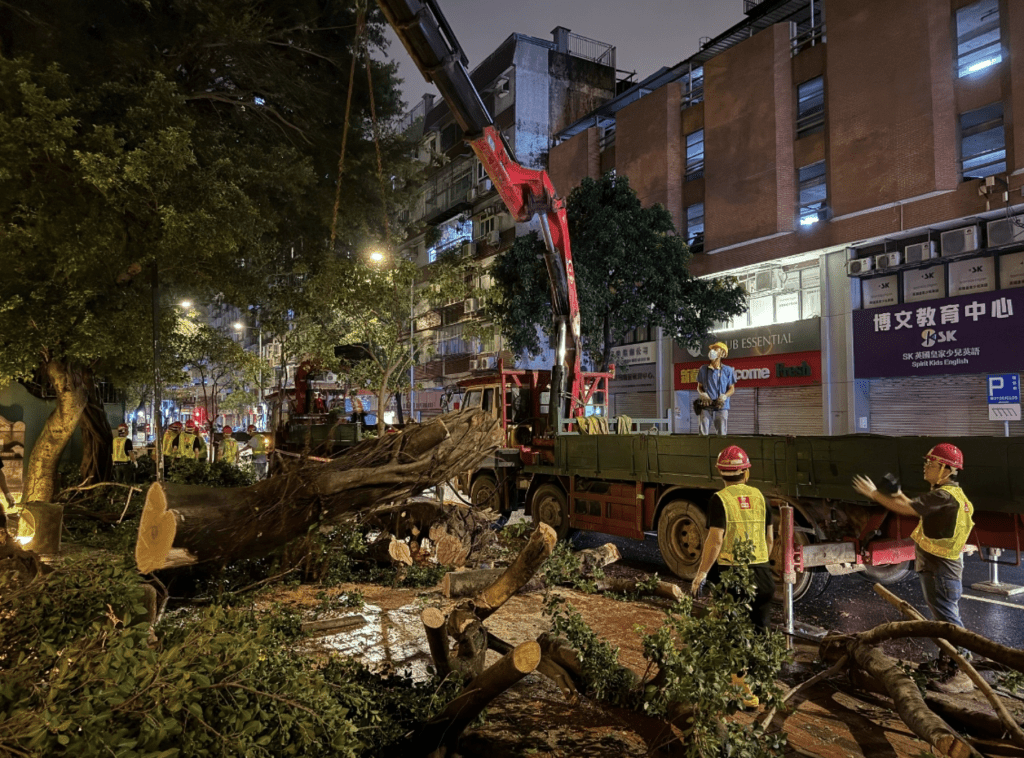
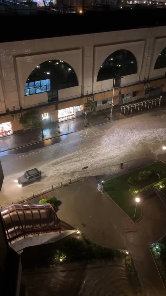
Similar to Hong Kong, Ragasa generated significant storm surges in Macao causing widespread damage. The combination of the storm's broad circulation, high intensity, and path close to the Pearl River Estuary created substantial storm surge that coincided with high astronomical tides. The Inner Harbour area experienced maximum flooding reaching 1.51 meters, meeting the red storm surge warning criteria.
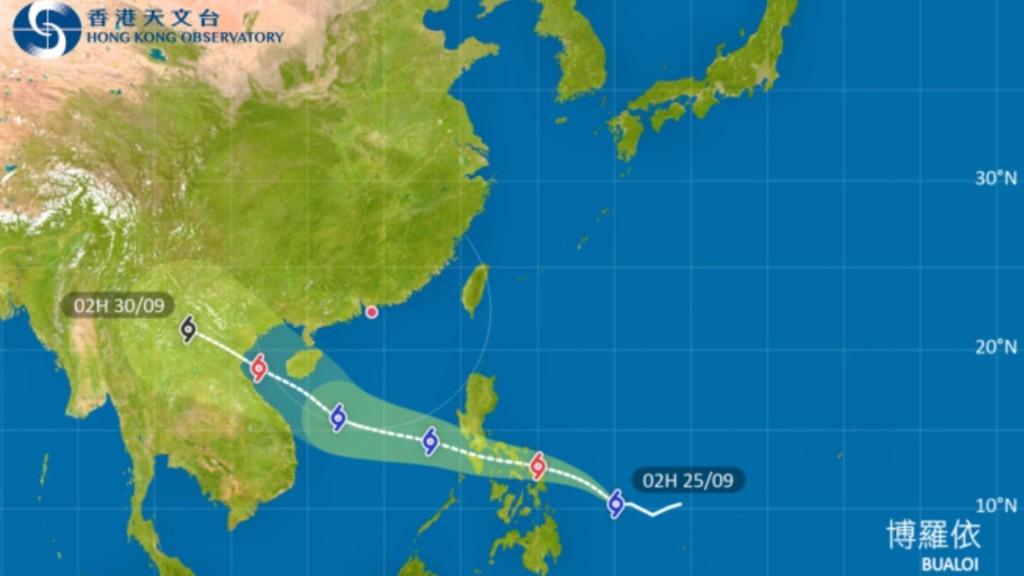
While Ragasa is gradually moving away from Macao toward western Guangdong, its remnant rainbands are expected to continue bringing heavy showers and thunderstorms to the region. The bureau also noted it is monitoring Tropical Cyclone Bualoi, predicted to enter the South China Sea later this week and move toward waters south of Hainan Island.