As Super Typhoon Ragasa moves away from Guangdong's western coast, Hong Kong's weather is expected to briefly improve. However, newly formed Tropical Cyclone Bualoi could approach within 800 kilometers of Hong Kong this weekend, potentially bringing renewed instability to southern China.
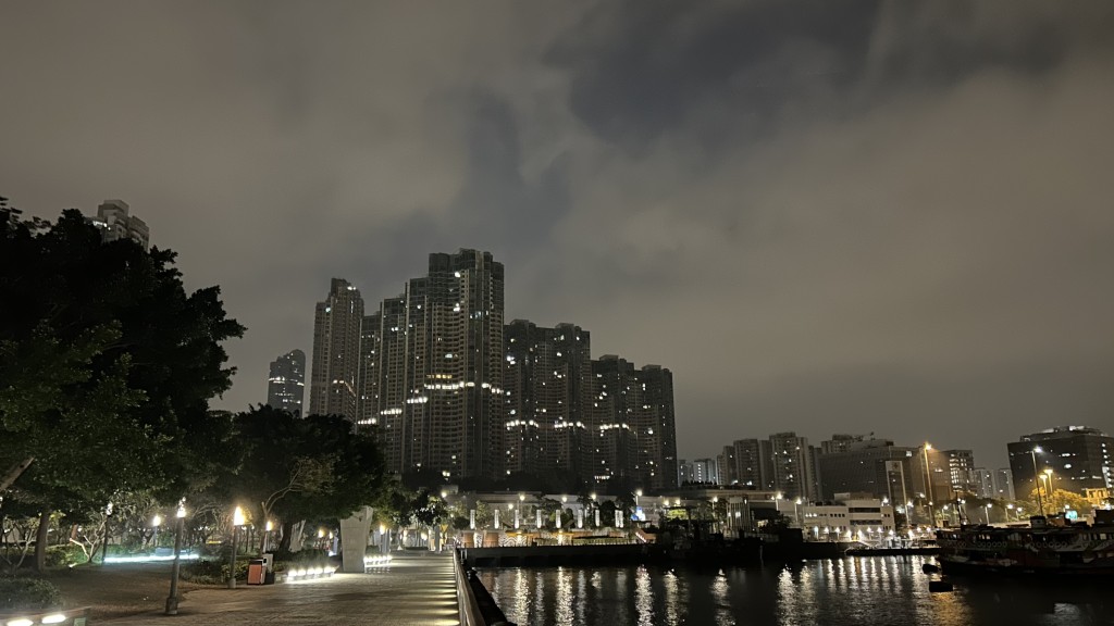
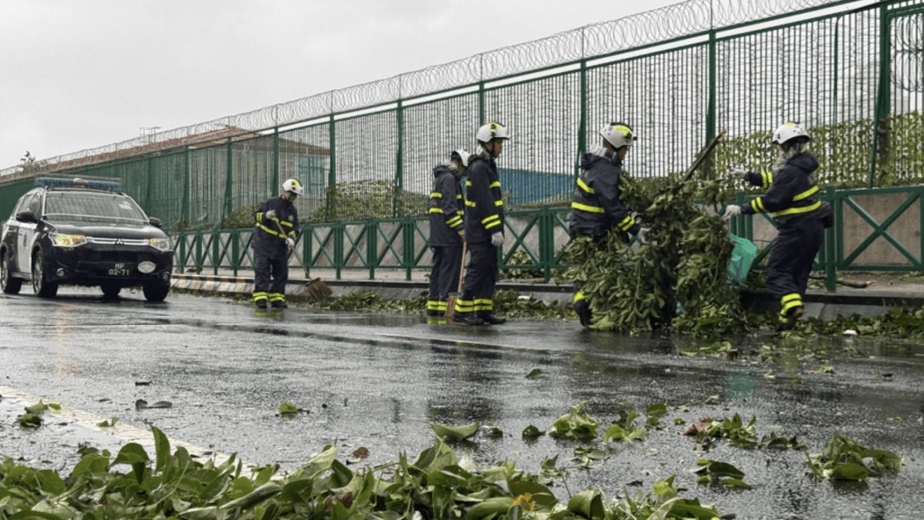
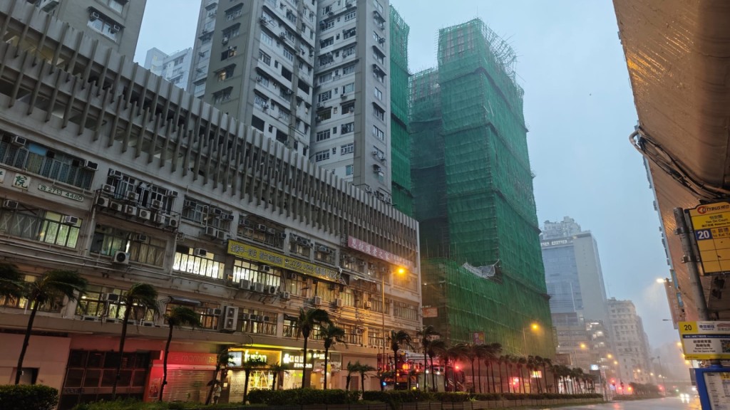
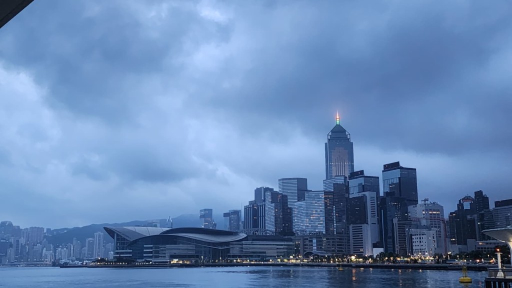
The Hong Kong Observatory indicated Ragasa will cross the Guangxi coastline and further weaken today after bringing severe thunderstorms and significant storm surges to western Guangdong. Hong Kong experienced strong winds and heavy showers under its influence, but conditions are expected to gradually improve over the next two days with reduced rainfall and clearer skies.
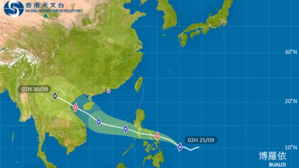
According to China Meteorological Administration data, Typhoon Bualoi - this year's 20th tropical cyclone - formed Tuesday morning over waters east of the Philippines, reaching tropical storm strength. Located approximately 1,420 kilometers southeast of Manila, the storm carries sustained winds of 18 meters per second (65 km/h) with a pressure of 1000 hPa and a 100-kilometer radius of force 7 winds.
Meteorological departments forecast Bualoi will move on a westbound track across the Philippines into the eastern South China Sea, intensifying as it approaches waters south of Hainan Island around September 27.
The Observatory's projected path suggests Bualoi will pass within 800 kilometers of Hong Kong between September 27-28. Whether it poses a direct threat will depend on its subsequent development path and intensity.
Bualoi represents the sixth tropical cyclone formed in the South China Sea and Western Pacific this September. With Ragasa's effects lingering and Bualoi approaching, the region's brief weather stability may soon be disrupted again.