Read More
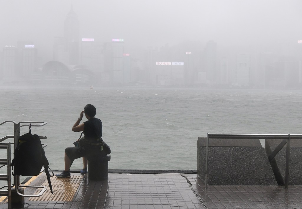
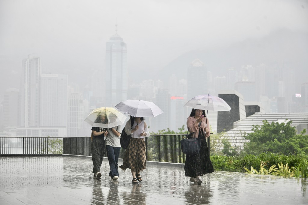
Observatory faces backlash over soaked students under Amber warning
21-05-2026 16:11 HKT
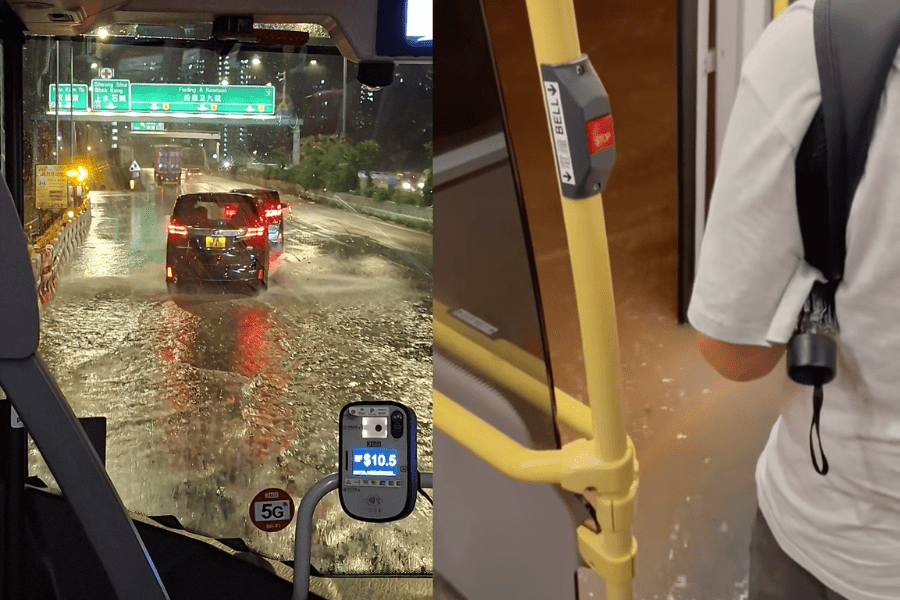
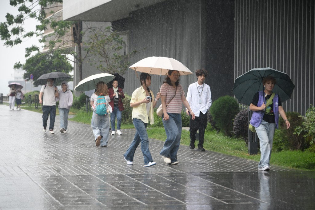
Heavy thundery showers to impact HK in next couple of hours: Observatory
14-05-2026 12:20 HKT
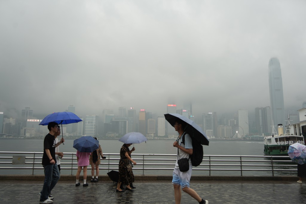
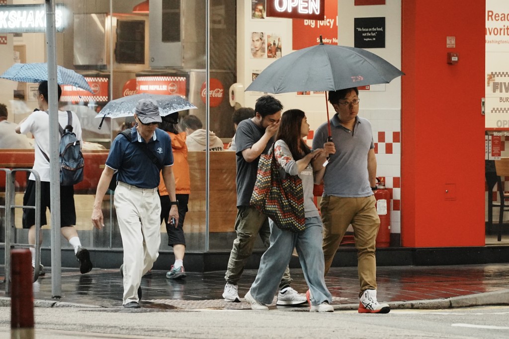
Heavy rains and thunderstorms expected later this week
12-05-2026 17:54 HKT
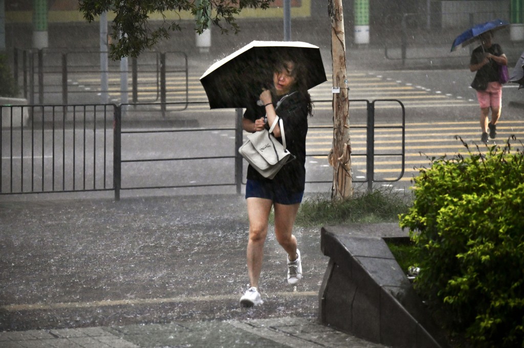
Weekend showers and cooler weather ahead, Observatory says
07-05-2026 18:01 HKT
Rainy spell to hit city, Observatory warns
23-04-2026 18:11 HKT
Cool and showery Lantern Festival expected as cold front nears
02-03-2026 14:13 HKT

HK braces a cold start to 2026 with overnight 10-degree drop
01-01-2026 16:46 HKT

HK braces for post-new year chill as temperatures to plunge 8 degrees
28-12-2025 14:34 HKT

Mercury to dip to 17 degrees on Tue: Observatory
12-11-2025 14:17 HKT
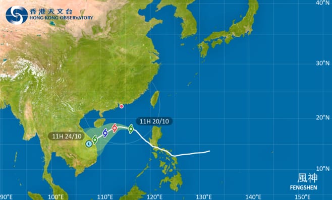
T3 signal to be hoisted at 5.20pm: Observatory
20-10-2025 12:52 HKT