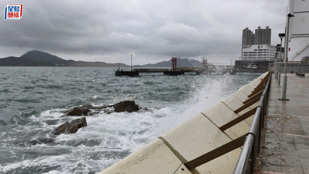
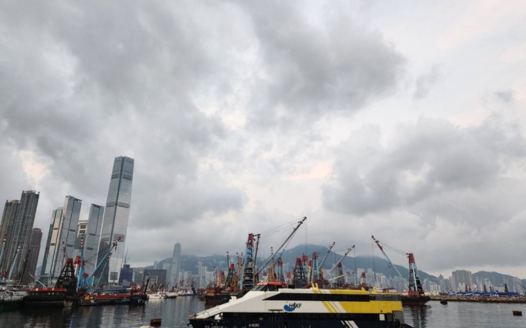
A broad area of low pressure over the central and northern South China Sea—currently within 800 kilometers of Hong Kong—is expected to bring squally showers and rough seas to the region in coming days.
The Hong Kong Observatory (HKO) warned that the system may intensify as it tracks north toward Hainan Island and western Guangdong, potentially developing into a tropical cyclone.
Under the combined influence of the low-pressure system and a high-pressure ridge over southeastern China, local winds are forecast to strengthen.
The HKO stated it may issue the Strong Monsoon Signal depending on wind conditions, with the possibility of a Tropical Cyclone Warning Signal as early as midnight tonight if the system intensifies.
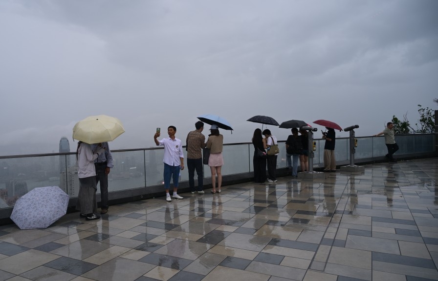
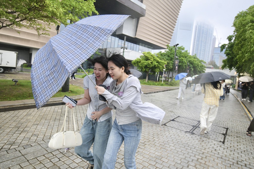
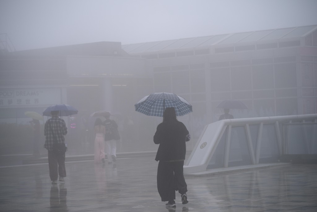
Rainbands associated with the disturbance have already begun affecting Guangdong’s coastal waters. Hong Kong can expect increasing showers starting Saturday (Aug 17), turning heavier with squalls on Monday and Tuesday (Aug 18–19).
Seas will become rough, prompting warnings for boaters and water sports enthusiasts to exercise caution.
Residents are urged to monitor the HKO’s latest updates and check road conditions before traveling.
The unsettled weather coincides with weekend outdoor activities, raising safety concerns for those near coastal or flood-prone areas.
The Observatory emphasized that forecast uncertainty remains high and advised the public to prepare for rapidly changing conditions.