Read More


Night Recap - May 22, 2026
7 hours ago


ImmD crackdown targets moonlighting domestic helpers arresting 17
19-05-2026 17:52 HKT

One dead, four injured in Jordan flat fire, 200 residents evacuated
22-05-2026 00:48 HKT


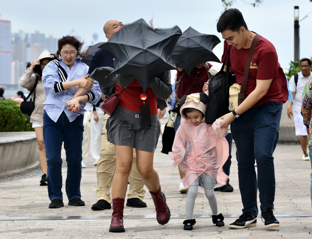
Hong Kong may see its first typhoon of the year as early as next week, with global weather models predicting a tropical cyclone forming in the South China Sea.
According to the U.S. Global Forecast System (GFS), the storm could develop by Sunday (June 8) and slowly move northward, coming closest to Hong Kong around June 11-12 before veering toward Haikou in Hainan.

Meanwhile, the European Centre for Medium-Range Weather Forecasts (ECMWF) also anticipates cyclone formation but suggests a later approach—June 14-15—with a possible more direct path toward Hong Kong, though potentially weaker in intensity.

The Hong Kong Observatory (HKO) acknowledged the possibility of a low-pressure area developing early next week but emphasized uncertainty in its speed and trajectory.
"A broad trough of low pressure will bring unsettled weather to the central South China Sea and Luzon vicinity," the HKO stated, forecasting easterly winds and scattered showers for June 12.
Director of the Hong Kong Observatory Chan Pak-wai previously predicted an earlier-than-usual start to typhoon season, with five to eight tropical cyclones entering Hong Kong's 500-kilometer radius, a number that is normal to slightly above average.
He noted rising risks of stronger typhoons due to warmer seas and atmospheric conditions, though the overall number may remain stable.
(Marco Lam)