Read More

Night Recap - May 6, 2026
1 hour ago


Tonkatsu chain Ca-Tu-Ya goes dark across Hong Kong, exit suspected
05-05-2026 16:48 HKT
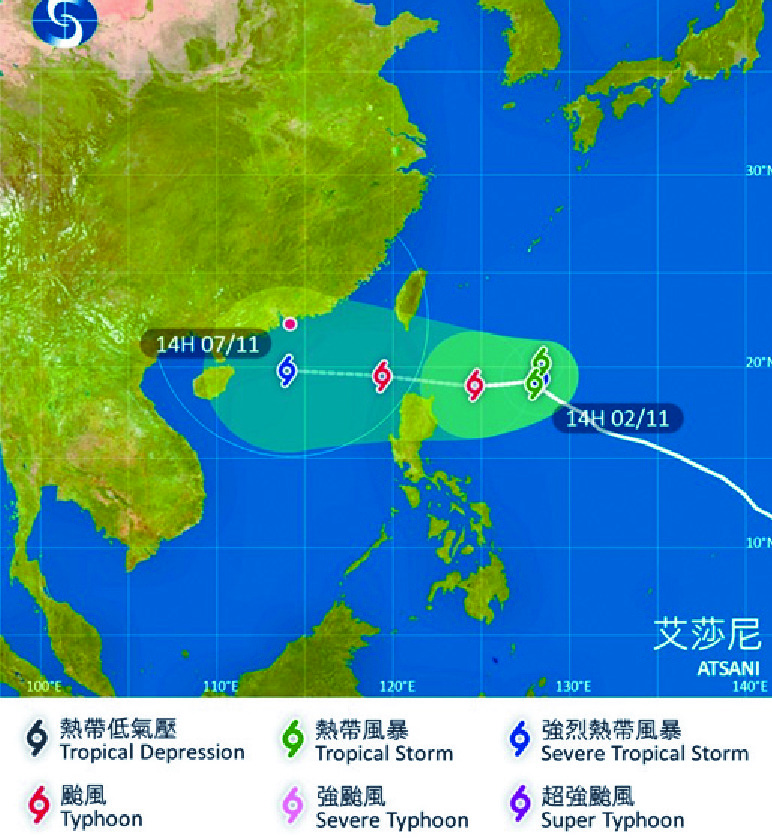
Tropical cyclone Atsani may pass 300 kilometers south of Hong Kong on Saturday.
The observatory said it will linger east of the Philippines in the next couple of days and is forecast to move toward the Luzon Strait and enter the northern part of the South China Sea.
However, its track and intensity are still uncertain, the observatory said, adding it will monitor the storm closely.
If Atsani brings the hoisting of typhoon signal No 8, it would be the first such warning issued in November in 48 years.
Scientific officer Tse Wai-po said Atsani, now east of the Luzon Strait, is edging closer to the steering current at the outer circulation of the subtropical ridge.
But since the ridge would be weakened by the westerly trough under the impact of upper-air disturbances, Atsani would be trapped in a "saddle field," leaving it to make a clockwise loop east of Luzon Strait in the next two days.
Tse said Atsani's route would be clear only tomorrow after it made the loop, as 30 percent of the predicted routes generated by supercomputers showed the storm would enter the South China Sea on Friday, and less than 10 percent of the estimated tracks indicated it would land on Hong Kong or Guangdong.
"If Atsani moves toward the south, where sea waters are warmer, it would intensify and gain greater wind strength. But if it moves north, not only would the sea waters be cooler, its structure would also be undermined by vertical wind shear caused by the westerly trough, and therefore it would be weaker," Tse said.
Yesterday, the observatory lowered the estimated wind speeds near Atsani's center from 110 to 105 kilometers an hour, and classified it as a tropical storm.
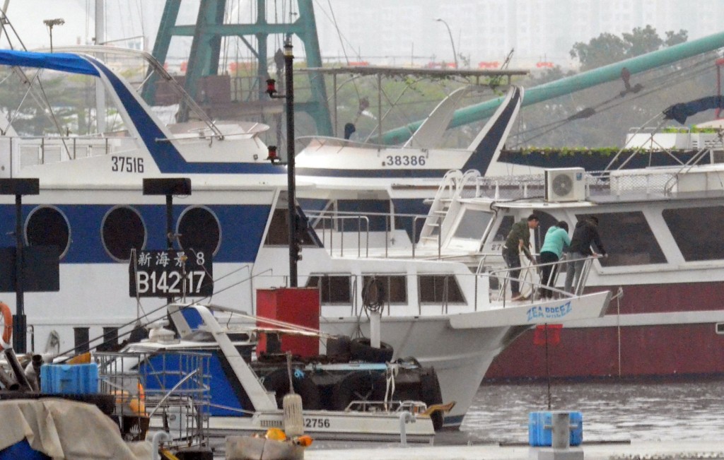
Strong north or northeasterly winds are expected by Saturday with a few showers.
In November 1972, Typhoon Pamela brought a signal No 8 as it skirted 50 kilometers south of Hong Kong.