Read More

Night Recap - May 22, 2026
9 hours ago


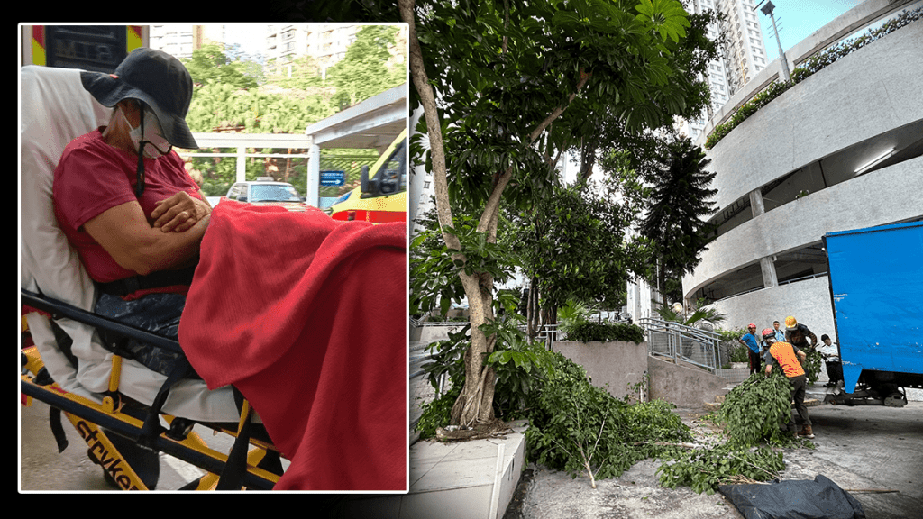


ImmD crackdown targets moonlighting domestic helpers arresting 17
19-05-2026 17:52 HKT

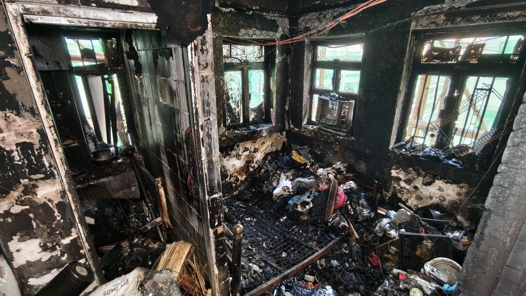
One dead, four injured in Jordan flat fire, 200 residents evacuated
22-05-2026 00:48 HKT
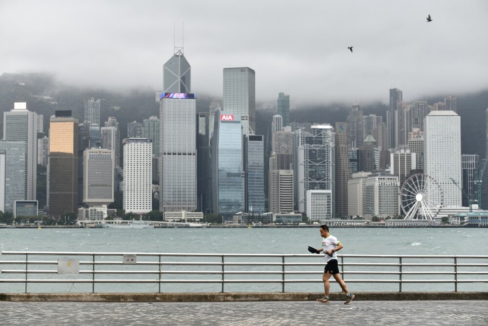
The weather authorities have forecast that a potent northeast monsoon and Tropical Cyclone Man-yi will significantly affect southern China, starting this Sunday. The Hong Kong Observatory (HKO) is closely monitoring the situation and may issue Standby Signal Number 1 on Monday at the earliest depending on the condition.
The HKO has announced that a strong northeast monsoon is expected to hit the southern coast of China by late Sunday (Nov 17). Depending on local wind changes, the Observatory might also issue a Strong Monsoon Signal.
Concurrently, Tropical Cyclone Man-yi is projected to come within 800 kilometers of Hong Kong between Sunday night and early Monday (Nov 18) and is likely to move closer to the southern Chinese coast thereafter.
Due to the combined forces of the northeast monsoon and Cyclone Man-yi, the region will experience increasingly strong winds on Monday (Nov 18) and Tuesday (Nov 19). The HKO plans to issue a Tropical Cyclone Warning Signal during this period.
Additionally, the HKO has noted that a spring tide is expected early next week, which will coincide with particularly high sea levels during the overnight high tide. This could lead to minor flooding in some low-lying areas.
On Monday and Tuesday, influenced by both the monsoon and Man-yi, the sea level is expected to rise by an additional 0.3 meters above the spring tide level. The public is advised to take necessary precautions.
As the week progresses, temperatures are forecast to drop, with several rain patches expected midweek. The minimum temperature could drop to 19 degrees Celsius or lower. Residents are encouraged to stay updated with the latest weather forecasts issued by the HKO.