Read More















Build a road and destroy a forest - that's the finding of researchers who say newly discovered "ghost roads" pose an unprecedented threat to dwindling rainforests.
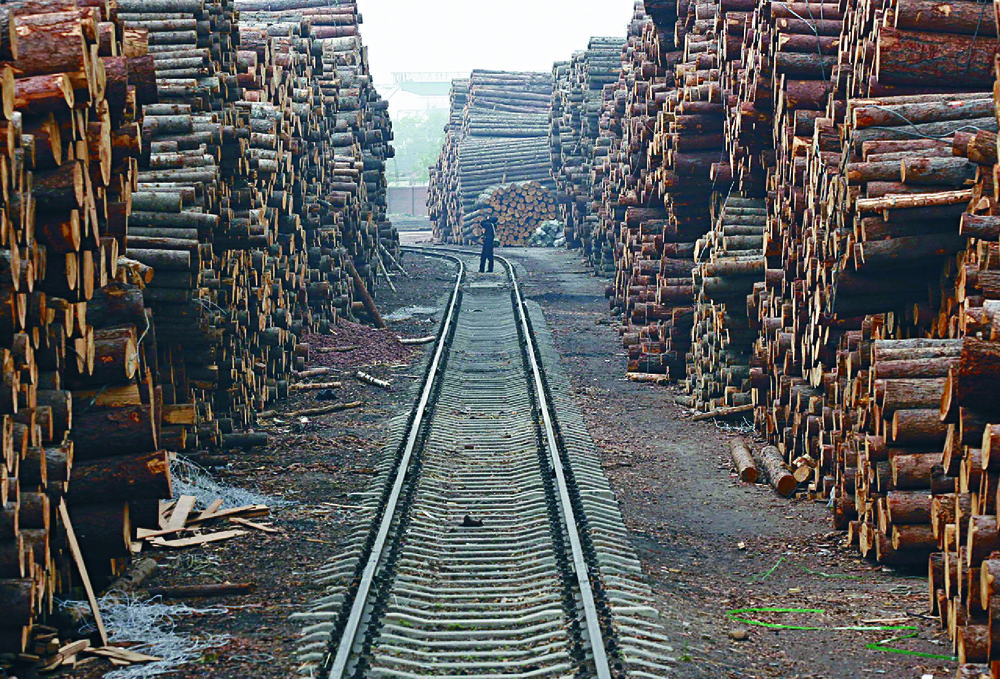
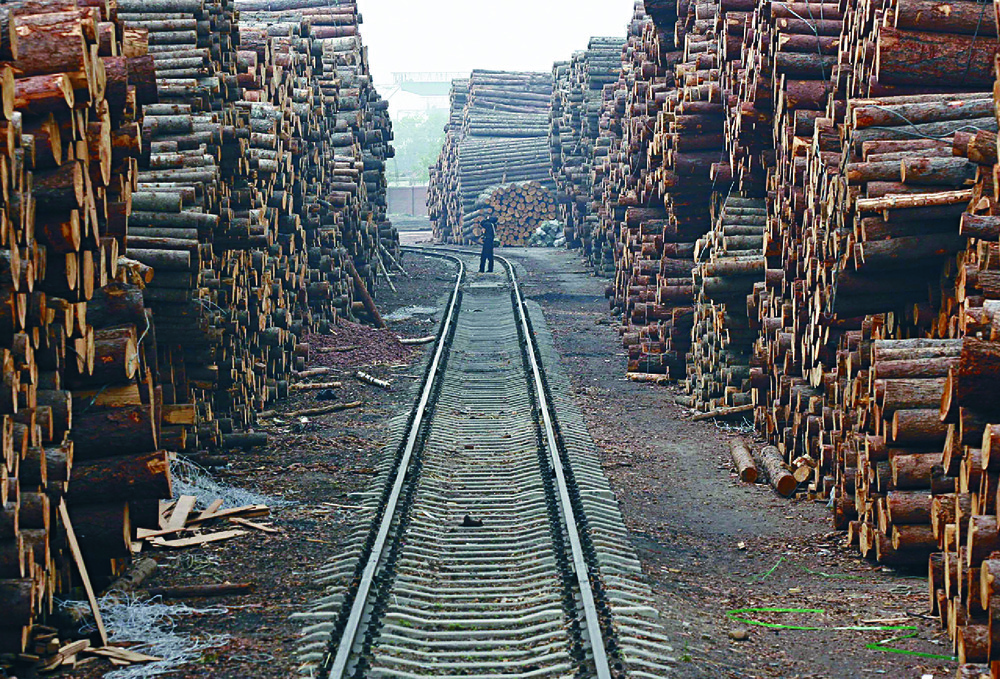
For where roads come, people follow and, soon enough, mass destruction begins. Trees are felled in their millions, plus people, birds and wildlife flee, as loggers and poachers move into an environment already teetering on the edge.
The extent only came to light after researchers spent 7,000 hours scouring millions of hi-res satellite photos to find a maze of unmapped ghost roads winding through southeast Asia and Melanesia.
Their one hope is that AI might help track deforestation much more quickly to shut down illegal operations."There's no question AI could be a critical arrow in the quiver of forest conservationists to help map roads and slow forest destruction," said James Cook University professor William Laurance in Australia.
"Developing nations can't halt illegal roads, logging, mining and poaching if they don't know where they're occurring."Laurance's team - whose findings were published in Nature magazine in April - said the secret network posed one of the gravest direct threats to tropical forests, already at risk from logging, mining, agriculture and climate change.
"We call them 'ghosts roads' because they're hidden from view and because, as ecologists, the out-of-control forest destruction they often instigate scares the hell out of us," said Laurance.While planned roads aid trade and help vital resources flow, their unregulated cousins "unleash a Pandora's box of environmental ills and societal challenges."
The 210 study volunteers and researchers checked images of 1.42 million plots to better map the forests of Indonesia, Malaysia and New Guinea.They found a million km of uncharted roads not shown on OpenStreetMap, and 1.16 million km more than can be seen on the Global Roads Inventory Project. The ghost roads they found were enough to wrap around the Earth 23 to 29 times.
The researchers said deforestation usually peaks soon after the roads are built, a pattern common to three of the world's largest continental islands: Borneo, Sumatra and New Guinea."When roads get punched into a forest, they fragment the landscape, disrupting important ecosystems and wildlife habitat," said Carillo. "They suddenly provide access to poachers, loggers, or others looking to exploit that previously inaccessible and intact forest, often disastrously."
The lure of the road is the money to be made.About 40 percent of the roads in Borneo, Sumatra and New Guinea cut through palm oil, wood-pulp and rubber tree plantations. The rest run through agricultural lands and intact forests.
Destroying tropical forests also has an outsize effect on climate change as they make up 68 percent of the world's carbon stock. A NASA study found these forests absorbed more carbon, but also release more when they are cut down.Given the unprecedented pace of road building, the team said better monitoring was essential and that AI could be used to better map the changing landscape.
To test how well AI would work, researchers trained three machine-learning models to pick out uncharted roads on satellite images of rural and semi-forested areas in the equatorial Asia-Pacific.Their AI models were right up to 81 percent of the time.
While human accuracy tops 90 percent, manual mapping was laborious.Human research can take several years to cover just a small area, says Jayden Engert, lead author of the ghost road study.
"We may be mapping accurately based on the imagery we have, but new roads will have been built by the time our data is usable," said Engert. "Roads are being built constantly so you need to constantly update your data, and that is almost impossible with manual mapping."Laurance said being able to use a program that would allow AI to do automatic snapshots across vast areas would be a game-changer for ecologists.
"We desperately needed AI because we put 7,000 hours into mapping a little tiny scrap of the world," said Laurance. "We estimated if we wanted to map roads across the whole planet, we would need about 640,000 hours, or 73 years for one person."Carlos Souza, a researcher at non-profit conservation group Imazon, is already doing AI detection work in the Amazon.
Such monitoring, linked with credible law enforcement, stops the building of new roads, says Laurance, pointing to the success of human-AI efforts in Brazil."They found that they only need to fine or jail a handful of offenders, and then the rest falls quickly into line," he said.
THOMson-REUTERS foundation