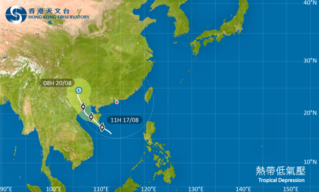
The Hong Kong Observatory has confirmed that the Standby Signal, No. 1 will remain in effect until at least 8pm on Sunday as a tropical depression moves across the northern South China Sea.
This signal indicates that a tropical cyclone currently positioned within approximately 800 kilometres of Hong Kong has the potential to affect the territory.
As of 11am today, the tropical depression was located about 640 kilometres south-southwest of Hong Kong. The system is forecast to track northwestwards at a speed of about 18 kilometres per hour, heading generally towards the vicinity of Hainan Island.
While the depression is expected to maintain a distance of around 600 kilometres or more from Hong Kong, its interaction with a ridge of high pressure over southeastern China is already impacting local conditions.
Winds are occasionally strong offshore and on high ground. The territory is experiencing squally showers and thunderstorms, with showers forecast to be heavier at times.
The Observatory stated that the decision on whether to issue the Strong Wind Signal, No. 3 later will depend on the proximity of the depression's associated strong winds to the Pearl River Estuary and observed changes in local wind strength.
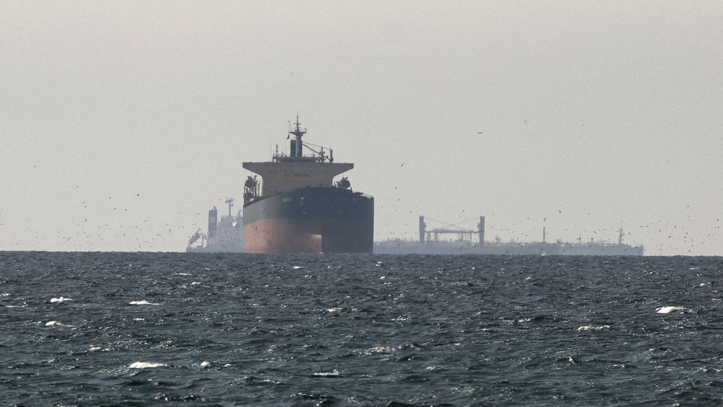
Significant sea swells and rough conditions are anticipated. The public is strongly advised to stay away from the shoreline and avoid all water sports activities due to potentially hazardous conditions.
Meanwhile, Macau’s Meteorological and Geophysical Bureau will raise its storm signal to No. 3 at noon today, warning that wind speeds could reach Force 6.
Rain and winds are expected to intensify in the afternoon, though the bureau currently assesses a low chance of issuing the No. 8 signal.
Under the influence of the tropical depression’s rainbands, Macau will experience increasing showers and occasional thunderstorms later today. More persistent heavy rain is forecast for Monday and Tuesday.
While storm surge risks remain low in the coming days as the weather system does not coincide with high astronomical tides, brief but intense downpours could still lead to flooding in low-lying areas.