Read More
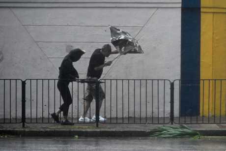
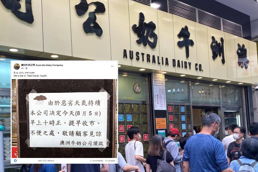
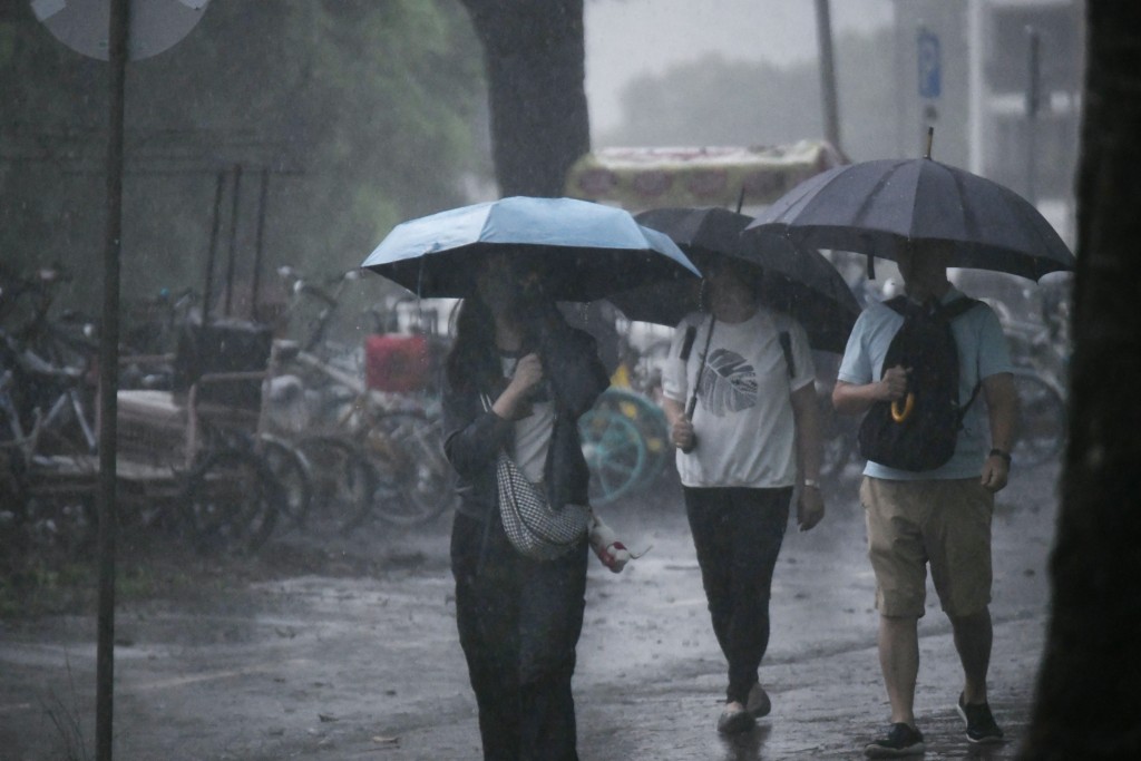
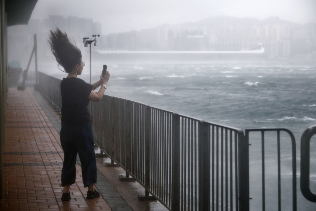
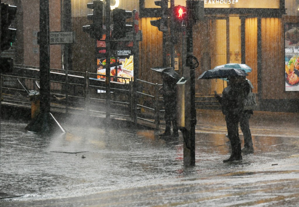
Under the Black Rainstorm Warning -- which lasted for over 10 hours -- the city has experienced record-breaking rainfall with the Observatory recording an unprecedented 355.7 millimeters of rain as of 2pm on Tuesday -- the highest daily rainfall recorded for August since 1884.
ADVERTISEMENT
SCROLL TO CONTINUE WITH CONTENT
Meteorological experts believe the long-lasting rain is not unusual, attributing it to the prevailing southwest winds during Hong Kong's summer, along with recent active upper airflow and the city's unique terrain.
Leung Wing-mo, former assistant director of the Observatory and also the spokesman for the Hong Kong Meteorological Society, explained that a broad trough of low pressure along with the southwest monsoon enhanced the development of heavy rain.
Leung noted that various atmospheric conditions, including upper air disturbances and high-level divergence, will force air near the ground to rise, contributing to heavy rainfall.
With the influence of the southwest airflow, Leung further stated that the terrain plays a role in the formation of the rainband. For instance, when the southwest winds encounter Lantau Island, they force air to rise, generating intense rainbands.
Similar effects are expected in areas like Tai Mo Shan, Tate's Cairn, and Kowloon Peak as the airflow comes in, Leung added.
The current rainstorm marks the fourth Black Rainstorm Warning issued this year, the last three warnings occurring within a week -- specifically last Tuesday (Jul 29), Saturday (Aug 2) and Monday (Aug 4).