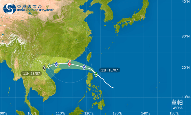
The Hong Kong Observatory (HKO) is set to issue the Standby Signal No. 1 tonight at the earliest as Tropical Storm Wipha moves within 800 kilometres of the city. The storm is expected to intensify gradually while tracking toward the Pearl River Estuary and western Guangdong coast in the coming days.
While Hong Kong will initially experience very hot weather tomorrow (July 19) due to Wipha’s outer subsiding air, conditions are forecast to deteriorate rapidly.
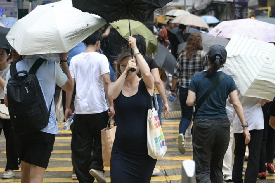
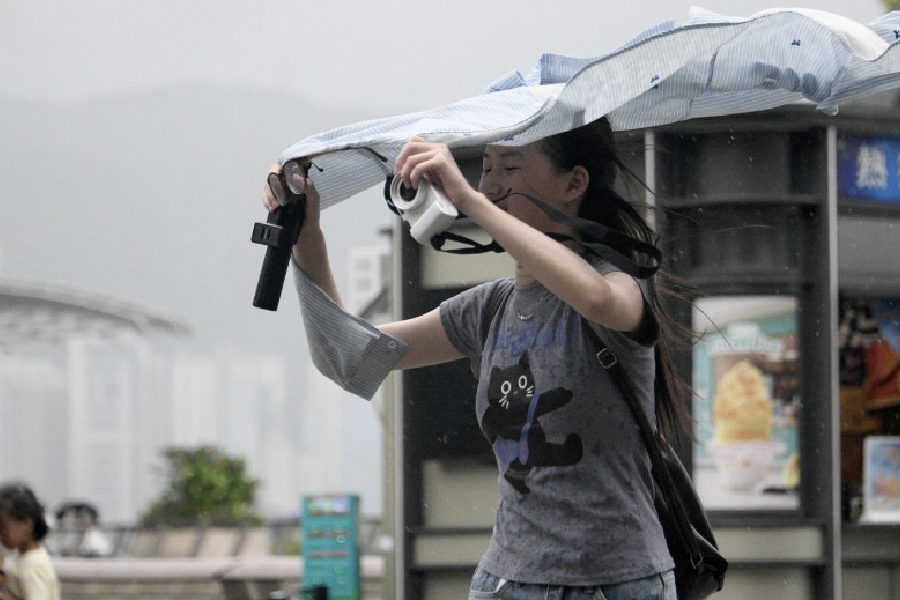
Winds will strengthen later in the day, followed by heavy squally showers and thunderstorms on Sunday. The Observatory warned of very rough seas with swells and urged the public to avoid shorelines and water activities.
Authorities are considering upgrading the warning to the Strong Wind Signal No. 3 on Saturday, depending on Wipha’s development.
The storm is predicted to be closest to the Pearl River Estuary on Sunday, prompting the HKO to assess whether higher tropical cyclone signals will be necessary based on its proximity, intensity, and local wind conditions.
Residents are advised to monitor the Observatory’s latest updates and prepare for potential disruptions. The public should stay alert for further announcements, particularly those planning outdoor activities over the weekend.