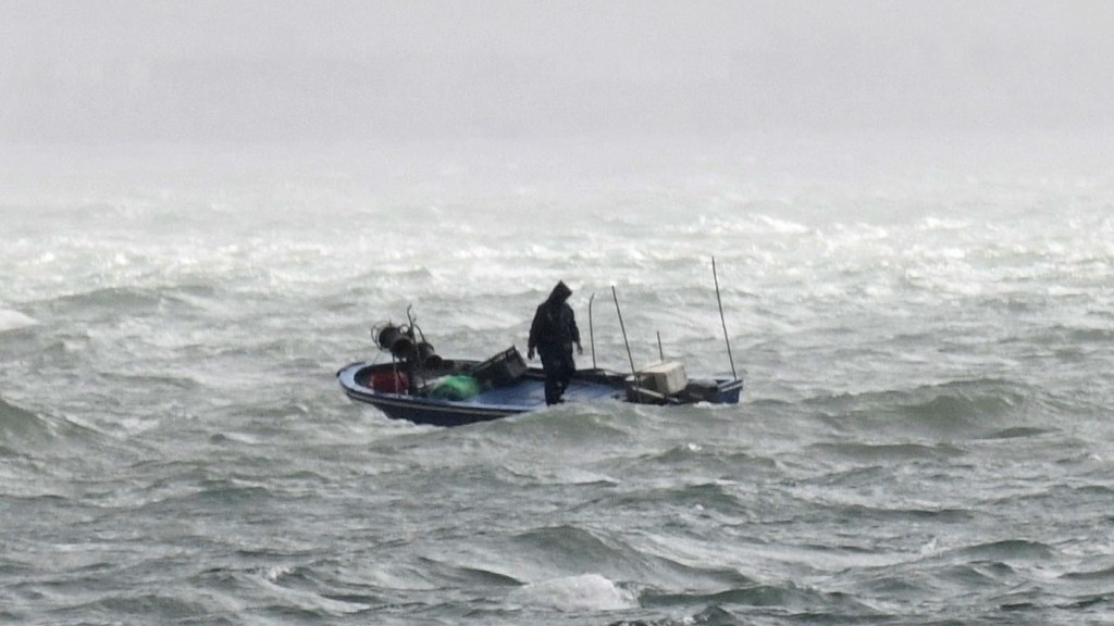
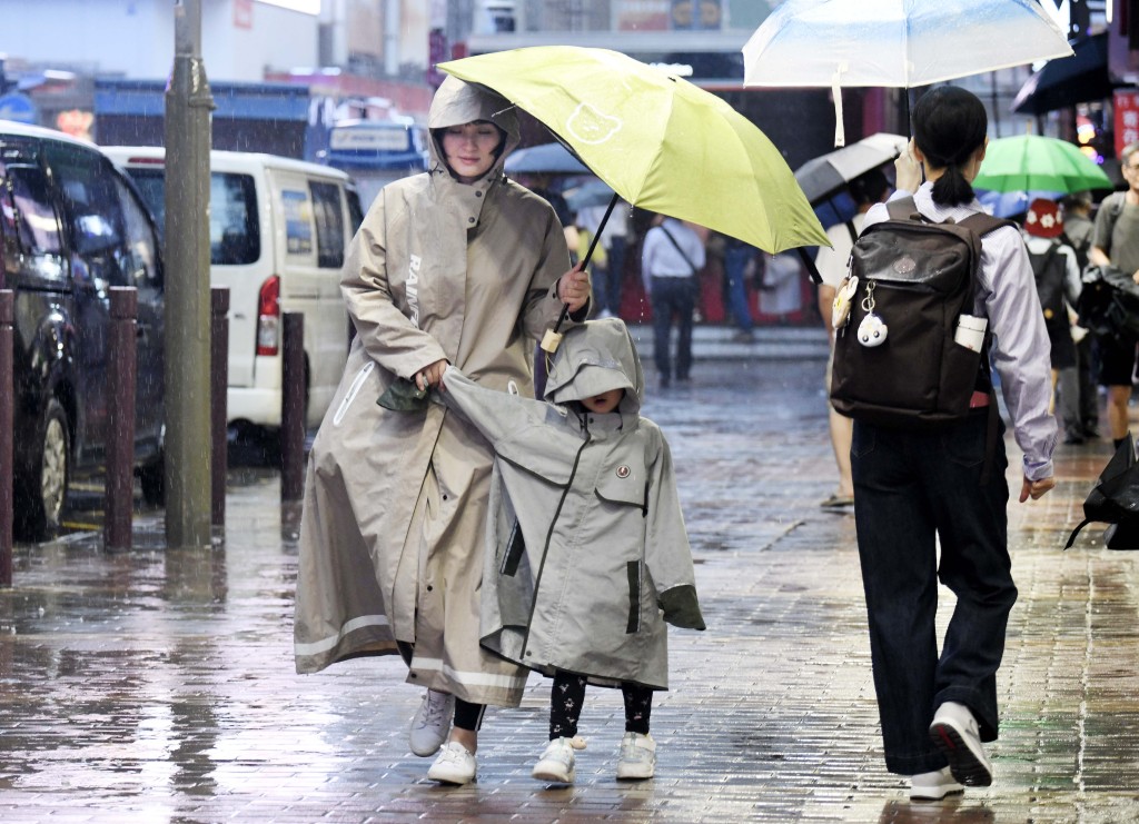
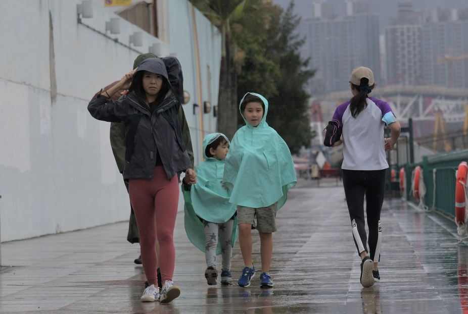
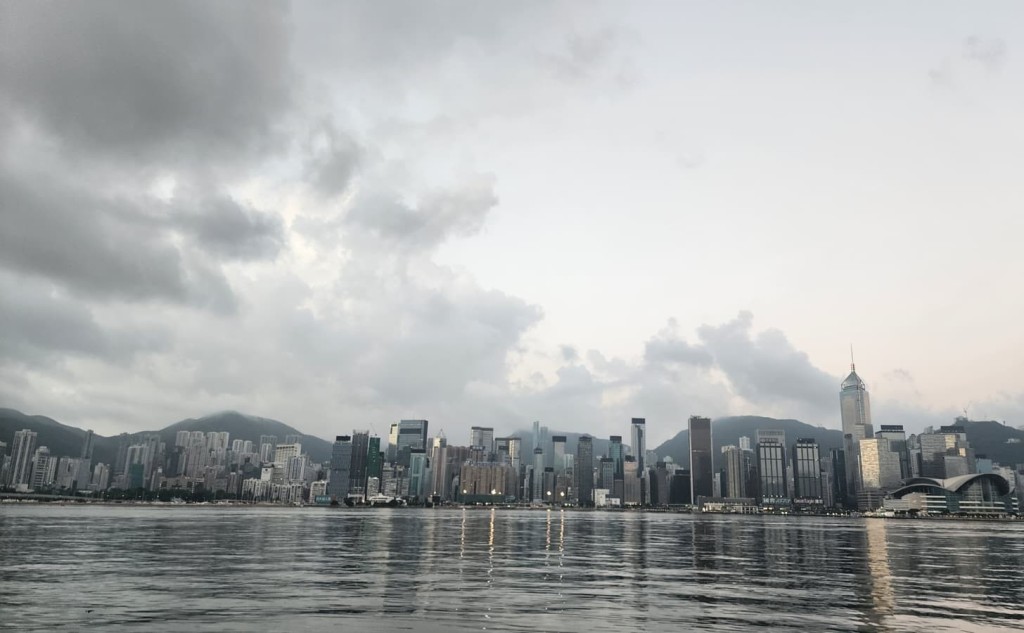
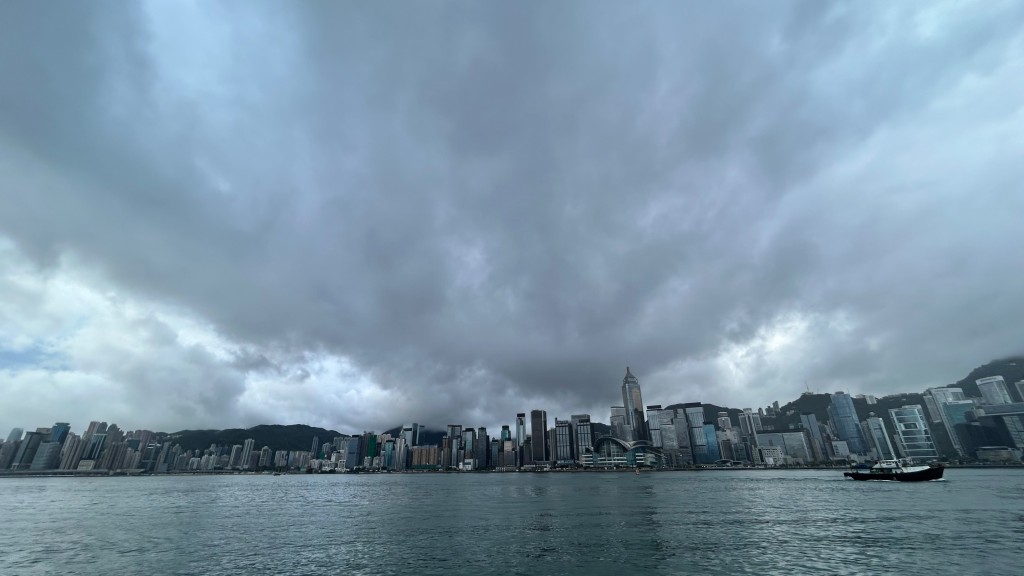
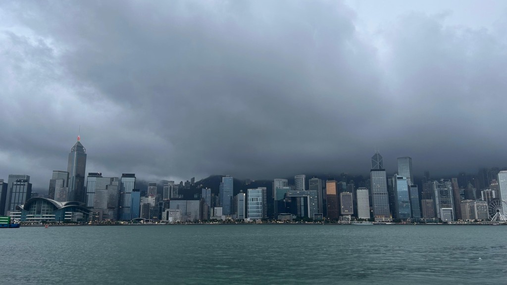
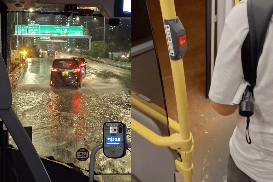
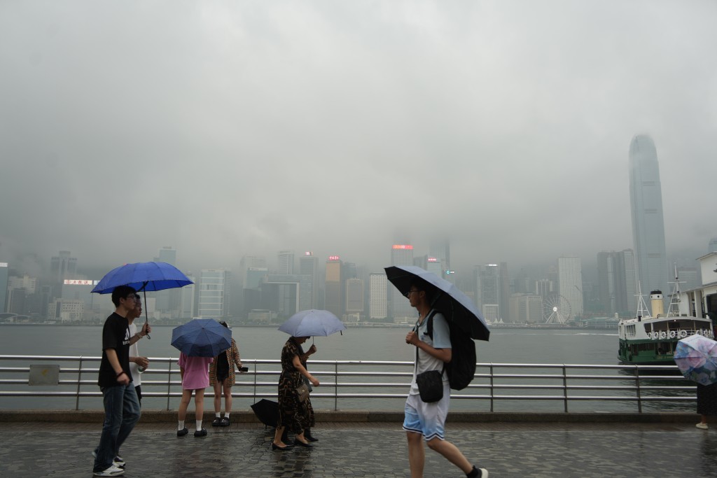
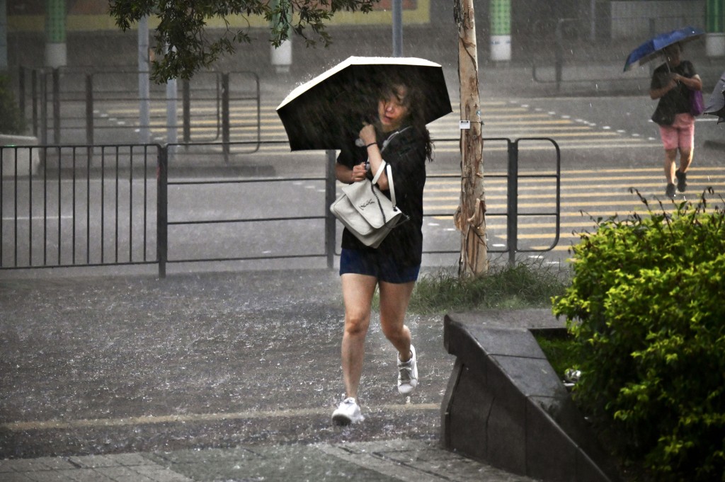
Hong Kong is expected to see squally showers, thunderstorms and rough seas this weekend as a broad low pressure system in the South China Sea interacts with an ongoing northeast monsoon, the Observatory warned.
The forecaster said cooler mornings will persist through Friday. Conditions are set to deteriorate over the weekend as the low pressure system develops, bringing stronger winds and swells to the Guangdong coast. The Observatory will assess local wind speeds to determine if a Strong Monsoon Signal is needed.
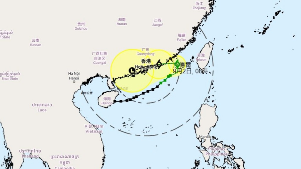
A cyclonic circulation is forming as the monsoon moves south and meets southwest winds in the central South China Sea, which could consolidate into a monsoonal depression or a tropical cyclone.
European and US computer models project the system will track towards Hainan Island, staying away from the coast. However, the South Korean model predicts a path closer to Guangdong, developing into a stronger cyclone whose rainbands could affect the region early next week.
The setup mirrors Typhoon Lekima in October 2007, which passed about 650km southwest of Hong Kong. Despite persistent strong winds and gales in Cheung Chau, the Observatory issued only a Strong Monsoon Signal rather than a No.3 Strong Wind Signal, sparking public controversy over whether tropical cyclone warnings should have been raised.
The Observatory noted that if the system maintains its distance, local weather will be driven primarily by the northeast monsoon. The public is urged to monitor forecasts and take precautions during outdoor or water activities.