Read More

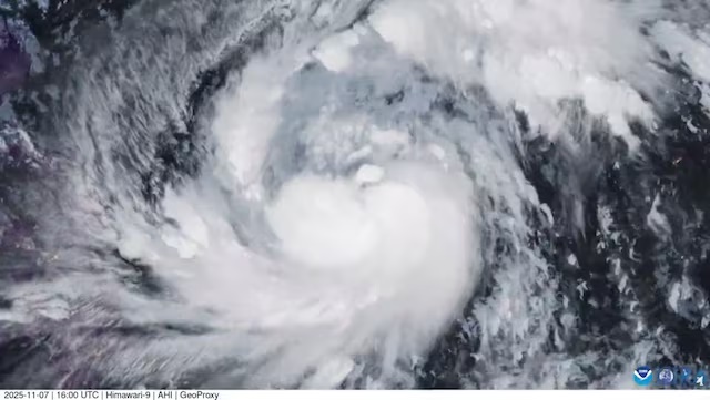
Typhoon Fung-wong brings floods to Taiwan, thousands evacuated
12-11-2025 10:34 HKT

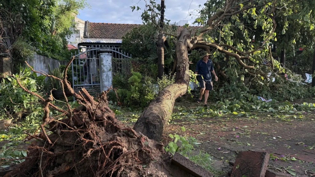
Philippines digs out from Typhoon Fung-wong as death toll climbs to 18
11-11-2025 16:46 HKT

Taiwan evacuates 3,000 as Typhoon Fung-wong approaches
11-11-2025 13:04 HKT
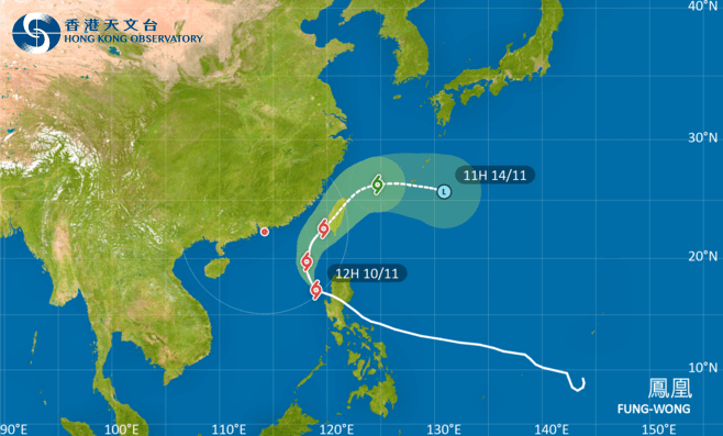
T1 signal remain in force before noon on Tue as Typhoon Fung-wong nears
10-11-2025 11:37 HKT

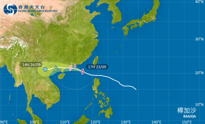
T3 signal to be hoisted at 5.20pm: Observatory
20-10-2025 12:52 HKT