Read More
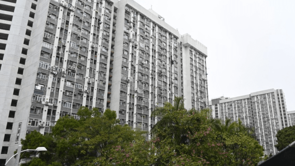
As Tropical Cyclone Ragasa barrels toward the Luzon Strait and builds toward super typhoon intensity, Hong Kong residents are urged to recall the devastation of past storms like Typhoon Hato in 2017 and Typhoon Mangkhut in 2018, with forecasts warning of similar gale-force winds, heavy squalls, and a storm surge that could flood coastal areas by midweek.
ADVERTISEMENT
SCROLL TO CONTINUE WITH CONTENT
The storm is expected to approach the Guangdong coast, bringing significant impacts to the region.
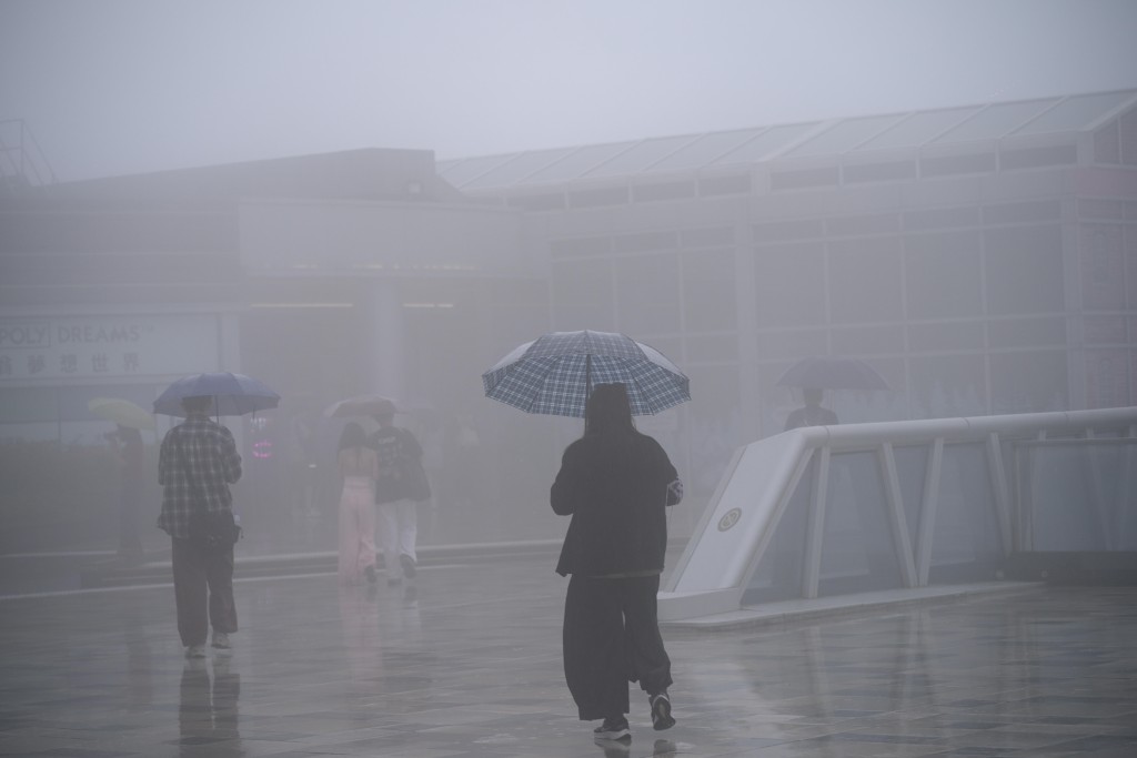
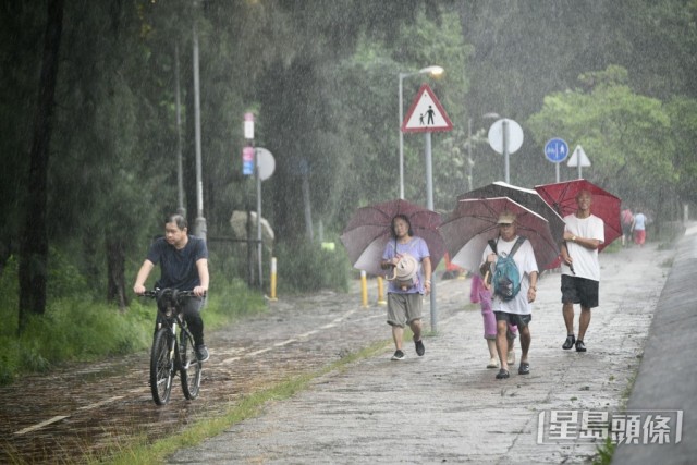
Local weather conditions in Hong Kong are predicted to worsen starting Tuesday (Sep 23) with a sharp deterioration by Wednesday.
Strong winds, reaching gale to storm force, will likely sweep through the city, accompanied by heavy showers and thunderstorms.
High seas and swells are also anticipated, posing risks to coastal areas.
The storm surge could elevate sea levels to heights comparable to those experienced during Typhoon Hato in 2017 and Typhoon Mangkhut in 2018, raising concerns about potential flooding.
Authorities urge residents to stay updated with the latest weather reports from the Hong Kong Observatory and to prepare for high winds and possible flooding in the coming days.