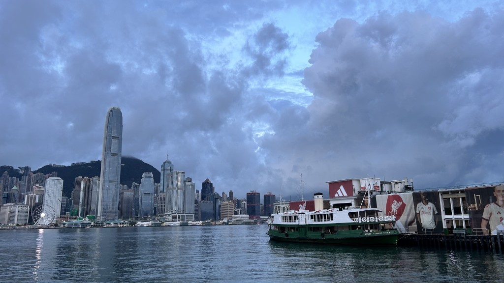
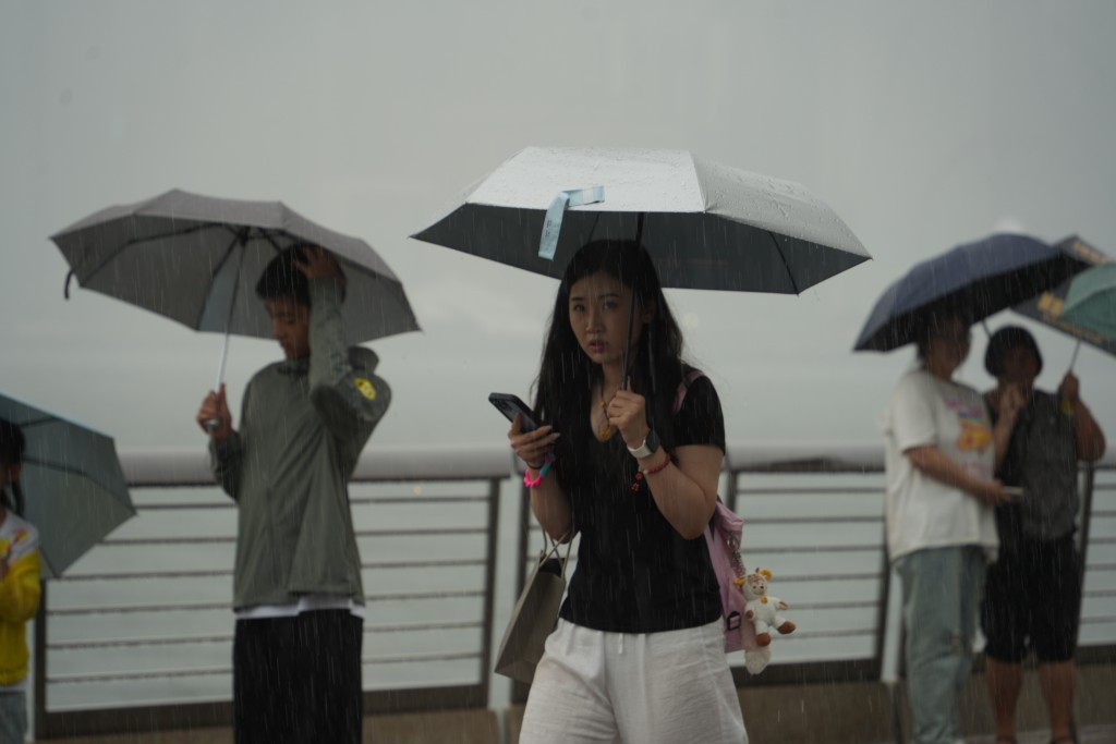
Hong Kong baked under extreme heat on Friday, with temperatures soaring above 35°C in multiple districts including Sha Tin, Shek Kong, Sheung Shui and Ta Kwu Ling at noon, according to the Hong Kong Observatory.
The sweltering conditions come as two tropical systems develop in nearby waters, though neither is expected to directly impact the city.
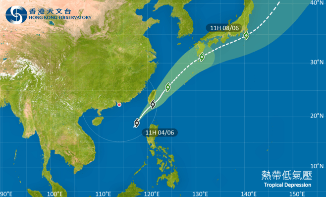
The Observatory said Severe Tropical Storm Co-May was positioned about 1,040 kilometers southwest of Okinawa at noon, tracking northeast at 36 km/h across waters east of Taiwan. Meanwhile, Tropical Storm Francisco weakened into a tropical depression as it churned about 270 kilometers southeast of Wenzhou, moving westward at 14 km/h across the East China Sea.
While Guangdong continues to experience generally fine but extremely hot weather, Hong Kong residents endured scorching afternoon temperatures between 28°C and 35°C on Friday. The Observatory forecast mostly sunny conditions with isolated showers and thunderstorms in some areas, accompanied by light to moderate westerly winds.
The weekend outlook suggests intermittent sunshine with persistent daytime heat on Saturday and Sunday, though isolated showers are expected.
The forecaster predicts increased rainfall early next week as a broad trough of low pressure develops over the central and northern South China Sea, potentially forming a low-pressure area during the weekend.
This weather system is expected to gradually move north toward southern China's coast by mid-to-late next week, bringing more frequent showers to the region.
Meanwhile, Co-May will continue moving toward the Ryukyu Islands after passing waters east of Taiwan, while the weakening Tropical Depression Francisco heads toward China's southeastern coastline.
Nine-day weather forecast for Hong Kong. (HKO)


")