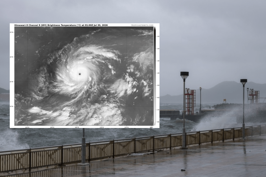
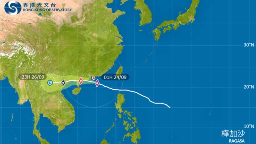
Super Typhoon Dolphin, named after the Chinese white dolphins found in Hong Kong waters, has rapidly intensified over the western Pacific, with some forecast models suggesting its winds could approach historic extremes.
According to the Hong Kong Observatory (HKO), the storm has strengthened into a super typhoon over the Pacific Ocean in just three days, with maximum wind speeds reaching 270 km/h—equivalent to a Category 5 hurricane, the highest level on the Saffir-Simpson scale.
The Obsevatory's weather blog noted that both computer and AI forecasting models suggest the storm could strengthen further, potentially nearing or exceeding historical values.
Most forecast models project that Dolphin will maintain and intensify under favourable conditions - extremely high sea temperatures and weak vertical wind shear in the region.
While a compact and intense circulation is expected, the storm’s exact positioning and intensity vary across models.
The Observatory cautioned that raw model outputs contain inherent biases and become increasingly uncertain over longer forecast periods.
Dolphin’s eventual intensity will depend on whether its structure remains intact and whether it encounters disruptive factors such as dry air intrusion or an eyewall replacement cycle.
Forecasters will continue monitoring the storm using satellite and radar observations alongside multiple traditional and AI models.
The Observatory said the strongest tropical cyclones recorded in the western North Pacific were Super Typhoon Tip in 1979 and Super Typhoon Nancy in 1961. Both had estimated maximum sustained winds of 305 kilometers per hour, while their minimum central pressures were 870 and 885 hectopascals, respectively.
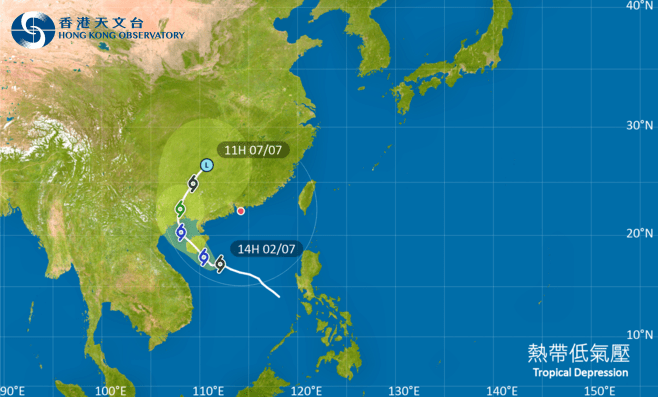
Dolphin is one of the tropical cyclone names contributed by Hong Kong and refers to the Chinese white dolphins living in local waters, which are also regarded as a city mascot.