
Read More






Night Recap - September 15, 2026
9 hours ago



Seven arrested over Kwai Chung illegal gathering
14-09-2026 12:33 HKT
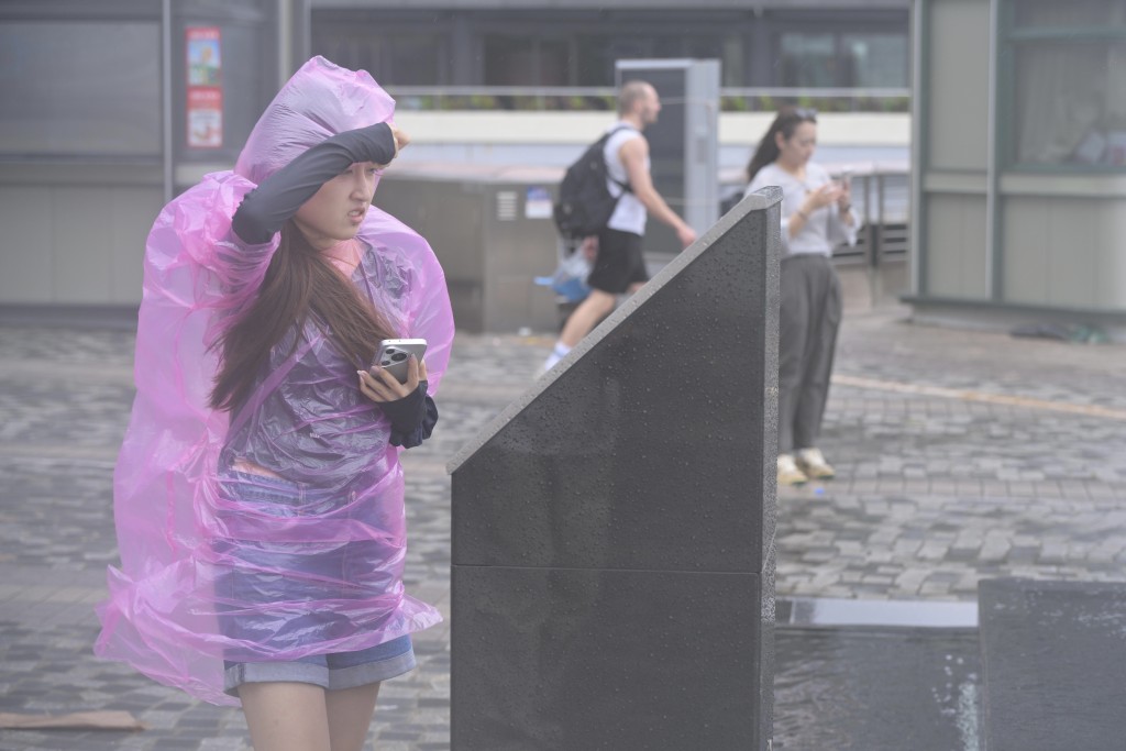
Hong Kong is facing nine consecutive days of showers, while artificial intelligence weather models suggest as many as four tropical systems could develop across the region next week.
The Hong Kong Observatory said a broad trough of low pressure would bring showers and thunderstorms to the Guangdong coast and the northern part of the South China Sea over the next few days.
Conditions are expected to become more unsettled over the weekend and early next week as upper-air disturbances approach. Showers will be heavier at times, accompanied by squally thunderstorms, while an area of low pressure may form within the trough.
The FengWu AI model indicates that four possible tropical systems could emerge around the northern South China Sea, Okinawa, Hokkaido and Guam by the middle to latter part of next week.
One model run suggests that the South China Sea system could develop around August 5 before moving northwest and coming closest to Hong Kong around August 9.
The Pangu model also places its closest approach around August 9, while the European Centre for Medium-Range Weather Forecasts’ AIFS model shows a possible system approaching the city on a slower track around August 12.
Such long-range model projections remain highly uncertain and may change significantly as weather systems develop.
The Observatory’s nine-day forecast shows showers each day from Thursday through August 7. Rain will be heavier at times on Sunday, with squally thunderstorms and a high probability of significant rainfall.