Read More
The Strong Wind No 3 Signal hoisted on Thursday morning as Toraji weakens, with plans for Standby Signal No 1 to be issued as it further weakens, according to the Hong Kong Observatory (HKO)
ADVERTISEMENT
SCROLL TO CONTINUE WITH CONTENT
The HKO issued the Strong Wind Signal No 3 at 10.20 am today to replace the No 8 Northeast Gale or Storm Signal, meaning that winds with mean speeds of 41 to 62 kilometers per hour are expected.
At 10 am, Tropical Storm Toraji was estimated to be about 130 kilometers south of Hong Kong and is forecast to move west slowly across the seas south of Hong Kong.
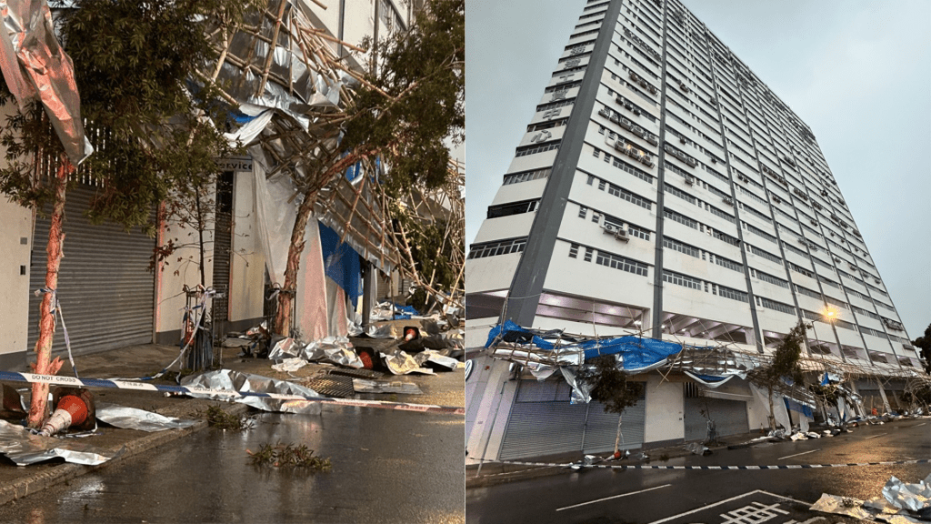
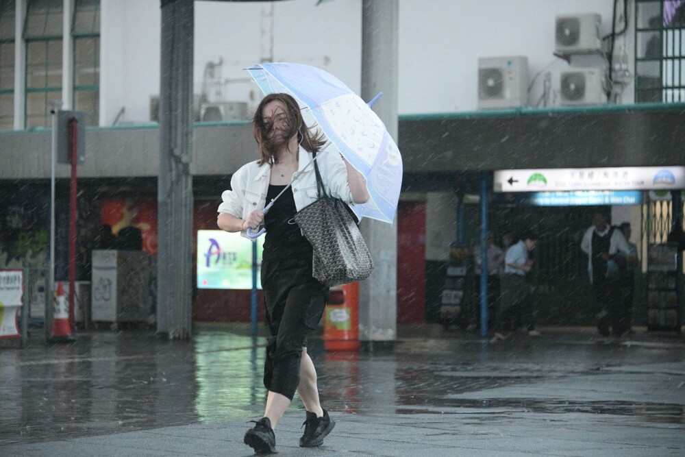
Toraji continues to weaken. Local winds are expected to moderate gradually, but local winds remain generally strong at first with occasional gale-force winds in offshore areas and on high ground.
The weather watchdog stated that the Strong Wind Signal No 3, will remain in force for most of the time during the day today.
When the threat posed to Hong Kong by Toraji is further reduced, the Observatory will issue the Standby Signal No 1, or cancel all tropical cyclone warning signals.
Locally, there will be occasional squally showers today. Seas are rough with swells. Members of the public were advised to stay away from the shoreline and not to engage in water sports.
")
(File Photo)