Temperatures rose to around 33 degrees Celsius in parts of the New Territories at noon on Wednesday, with mainly fine and very hot weather forecast for the afternoon.
The Hong Kong Observatory said a subtropical ridge was bringing generally fine conditions to southeastern China. The city will see moderate southerly winds and isolated showers, with temperatures ranging from 27°C to 32°C.
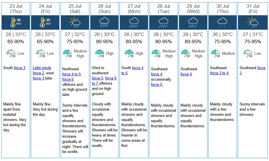
Mainly fine and very hot weather is expected to continue on Thursday and Friday, with daytime highs reaching 33°C.
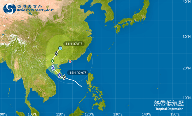
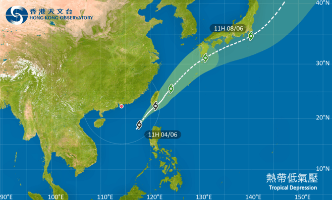
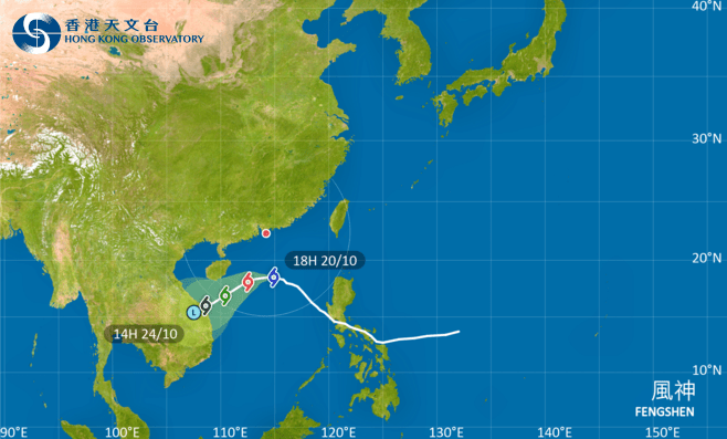
However, an area of low pressure east of the Philippines is expected to develop gradually into a tropical cyclone and enter the northern South China Sea later this week.
The system has a higher chance of moving toward the eastern Guangdong coast and intensifying over the weekend, although its eventual landfall position remains uncertain.
Saturday will bring sunny intervals and several squally showers and thunderstorms, with rain becoming more frequent at night. Winds will strengthen offshore and on high ground, while swells are expected at sea.
Conditions will deteriorate further on Sunday, when occasional squally showers and thunderstorms are forecast. Rain will be heavy at times, with temperatures between 26°C and 30°C and winds reaching force six to seven offshore and on high ground.
A broad trough of low pressure will keep the weather unsettled along the Guangdong coast from early to midweek next week.