Read More

Shell sued in UK over 2021 Philippines typhoon: NGOs
11-12-2025 10:00 HKT

Tropical cyclone may form near HK later this week
23-11-2025 18:33 HKT
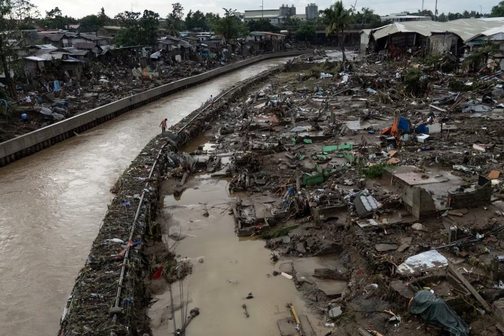
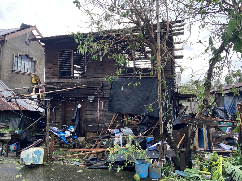
Weakening Typhoon Fung-wong exits Philippines after displacing 1.4 million
10-11-2025 12:45 HKT
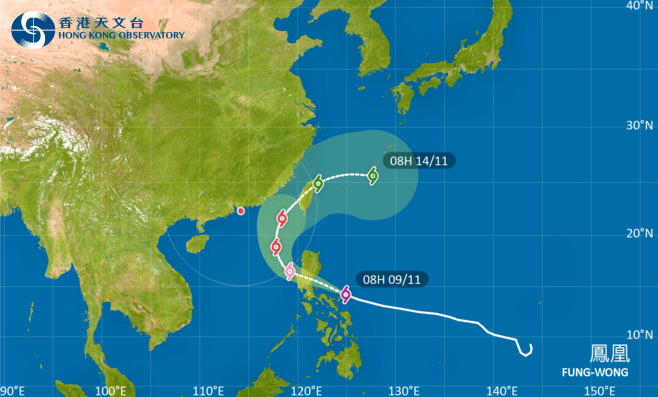
HKO to hoist T1 signal on Mon as Fung-wong nears
09-11-2025 11:45 HKT
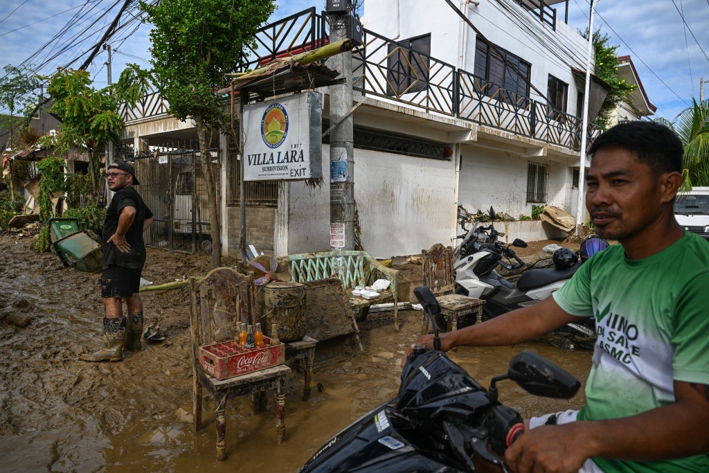
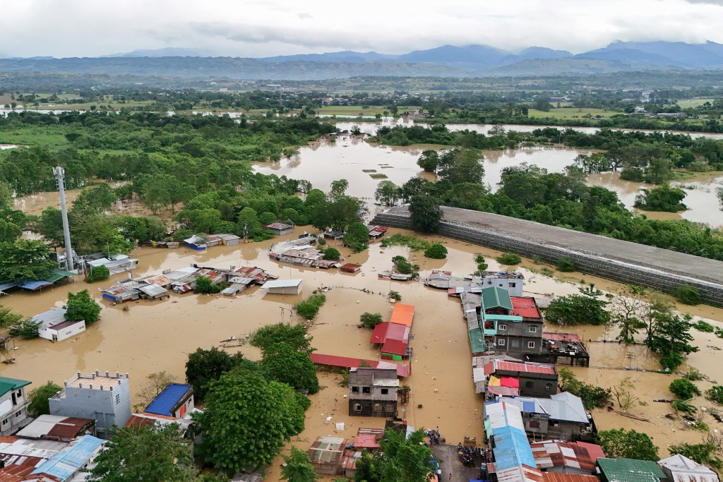
Philippine death toll tops 140 as typhoon heads towards Vietnam
06-11-2025 09:28 HKT

HK may welcome another typhoon with increased rainfall
05-11-2025 14:10 HKT

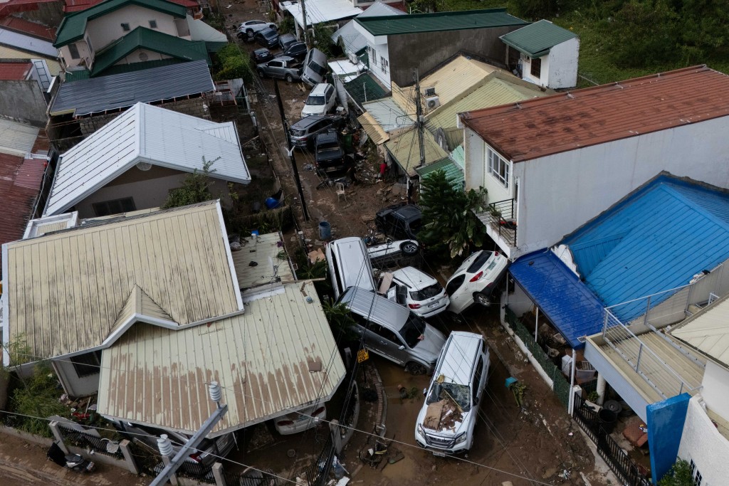
Vietnam flood death toll hits 40 as Typhoon Kalmaegi looms
04-11-2025 19:53 HKT
Typhoon Kalmaegi kills one in Philippines, heads to Vietnam
04-11-2025 12:00 HKT