Read More


Peace talks with an unpredictable president | High-flier | Jeffrey Lam
14-04-2026 04:51 HKT


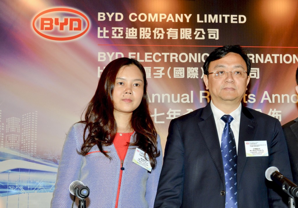
Chinese auto giant BYD's female CFO earns more than its founder last year
15-04-2026 19:12 HKT


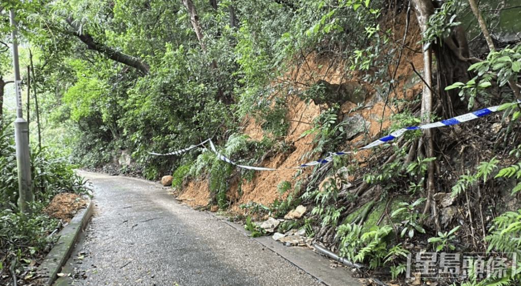
Many of us are aware of the detailed cataloguing of all man-made slopes in Hong Kong, following landslide disasters in 1972 and 1976, and this has helped to significantly reduce the risks of major landslides.
However, the Geotechnical Engineering Office of the Civil Engineering and Development Department hasn't stopped there.
It continues to enhance the recording system for Hong Kong's topography to provide useful details to enable engineers to monitor slopes and plan for future development without increasing risks.
Recently, as part of the initiative to make Hong Kong a smart city, the CEDD has rolled out the digital aerial photograph interpretation system.
DAPIS makes its photographs of most parts of Hong Kong available to government departments and personnel participating in government works projects.
Aerial photographs of Hong Kong are not new.
As early as 1924, the British Royal Navy used an aircraft operating from a seaplane carrier to take aerial photographs.
Aerial photograph interpretation is a crucial part of geotechnical studies.
Its applications include:
? Mapping of geology and geomorphology for rock types, geological structural patterns, superficial deposits, boulders, drainage lines, seepages and catchments;
? Cataloguing of manmade slopes for evaluation and management of slope safety;
? Compilation of the enhanced natural terrain landslide inventory for hazard assessments and debris flow landslide studies;
? Determination of site development histories, land-use and construction techniques, and terrain evaluations to map slope gradients, land protection measures, man-made slopes' formation, etc; and
? Land use planning and management.
With the passage of time, the resolution of photographs, coverage and general details were found to be not good enough for modern engineering applications.
For example, establishment of stereoscopic model and photogrammetric analysis using digital aerial photographs and photogrammetric parameters would be required and an updated digital system has been long overdue.
Funded by the Innovation and Technology Fund, HK$6.5 million has been provided to help develop DAPIS.
Over just two years, DAPIS' data server and internet platform have already been able to make digital aerial photographs and photogrammetric parameters available to government departments, especially the GEO, to conduct geotechnical studies to mitigate the risks of landslide hazards.
This scheme will help the GEO to establish a centralized management system to enhance the management of digital aerial photographs with less manpower required.
It also provides a convenient set of data, with a one-stop 3-D imagery hub storing aerial photographs through the internet platform.
The system enables users from government departments and the engineering sector to view, search and download digital aerial photographs in their office at any time, minimizing the need for physical visits.
In addition, it enables multiple users to view the same set of photographs simultaneously, unlike traditional paper-based aerial photographs.
This new system enhances the efficiency of aerial photograph interpretation as measurements and sketches of observations can be digitized on georeferenced image models to allow volumetric calculation in landslides studies and filling/excavation assessments.
The reduced use of paper-based photographs also enables a sustainable and environmentally friendly solution.
As we can see, a relatively small budget of a few million dollars has resulted in a significant upgrade of our terrain records and will in the long term provide huge savings in manpower and time for continuous monitoring of slopes and useful data for future land planning.
It is another example of how technology can help to provide better living and enhanced safety for all.
Veteran engineer Edmund Leung Kwong-ho casts an expert eye over
features of modern life