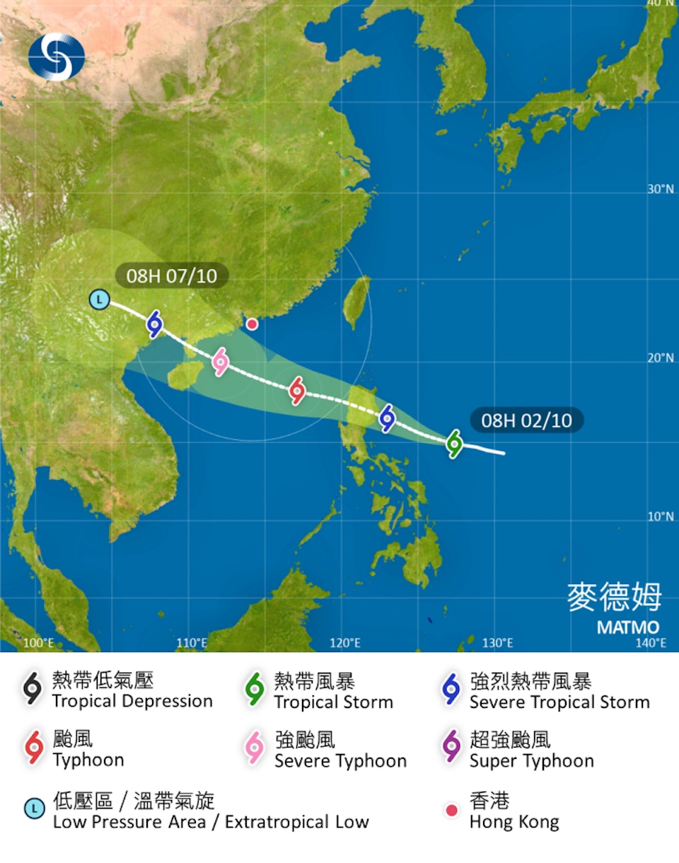
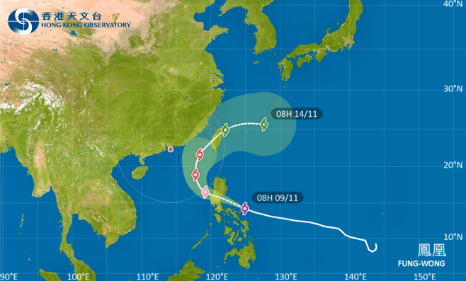
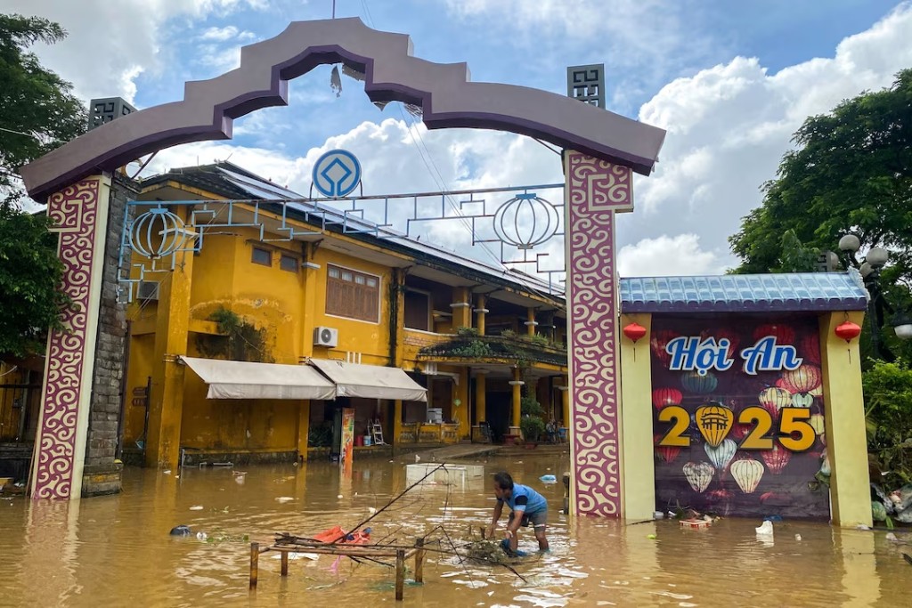
The Hong Kong Observatory (HKO) said it is preparing to issue the Standby Signal, No. 1 on Friday night as Tropical Cyclone Matmo moves closer to the city.
The system, currently over the seas east of the Philippines, has been named Matmo — a word provided by the United States meaning “heavy rain.”
According to the HKO, Matmo is expected to enter the South China Sea on Friday within 800 kilometres of Hong Kong. The storm will then continue tracking northwest towards the western Guangdong coast and the eastern part of Hainan Island over the weekend, gradually intensifying into a typhoon.
Forecasts indicate that by Saturday the system could be within 400 kilometres south of the territory, and by Sunday morning, when it is expected to upgrade to a severe typhoon, its centre may pass about 300 kilometres southwest of Hong Kong with maximum sustained winds near its centre reaching 165 kilometres per hour.
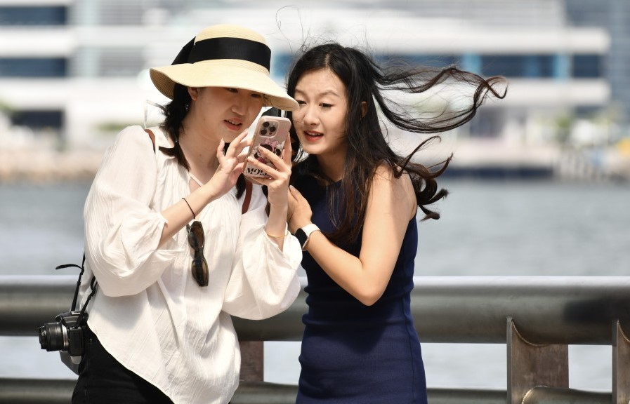
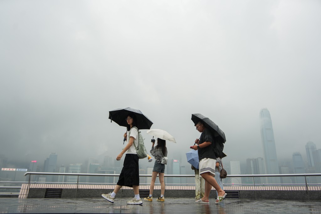
The Observatory warned of windy conditions and occasional squally showers locally from Saturday to Sunday, with rough seas and swells expected.
It added that there is still uncertainty regarding Matmo’s exact intensity and the local wind changes, which depend on its distance from the Pearl River Estuary.
Despite the approaching storm, the HKO noted that residents should still be able to enjoy the Mid-Autumn Festival moon over the weekend.
As the upper-level anticyclone strengthens again, sudden coastal downpours are expected to gradually ease during the festival and the following day, providing clearer skies for moon-gazing.