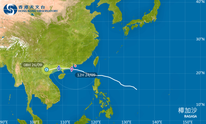
The Hurricane Signal, No. 10 will remain in force for some time as Super Typhoon Ragasa's associated hurricane-force winds continue to occasionally affect the southwestern part of the city, the Observatory said.
The weather forecaster said Ragasa is departing Hong Kong, while local winds are expected to gradually become southeasterlies. It urged the public to be on high alert and beware of destructive winds.
At noon, Ragasa was centred about 160 kilometers southwest of Hong Kong and is forecast to move west or west-northwest at about 22 kilometers per hour, edging closer to the vicinity of the western coast of Guangdong.
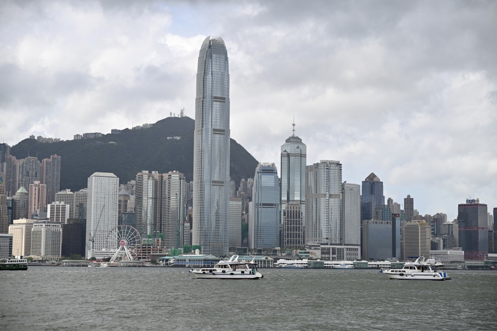
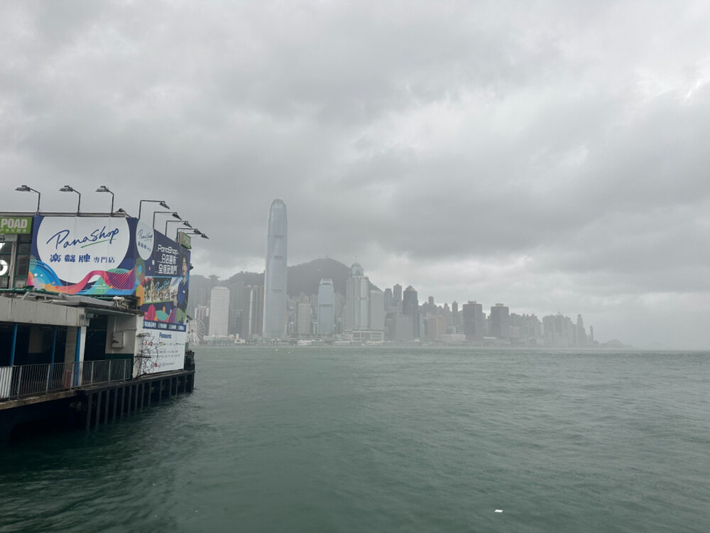
Local weather will be persistently adverse today with frequent heavy squally showers and thunderstorms. Seas remain phenomenal with swells. Waves will continue to overtop the shoreline, which will be particularly significant along the eastern and southern coasts.
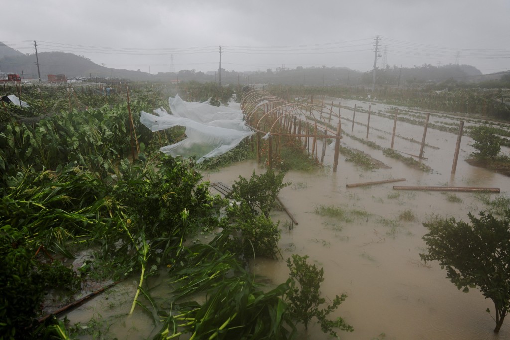
Ragasa brought significant storm surge to the city, the Observatory added. The water level over the coast of Hong Kong generally rose to 3.4 meters or more above Chart Datum this morning. Meanwhile, the water level over the western coast is still rising slightly and is expected to reach the maximum in the next couple of hours.
In the past hour, the maximum sustained winds recorded at Ngong Ping, Cheung Chau and Tap Mun were 153, 124 and 111 kilometers per hour with maximum gusts exceeding 184, 148 and 142 kilometers per hour respectively.