Read More


Super Typhoon Bavi approaches Okinawa, over 100 flights cancelled
10-07-2026 04:01 HKT
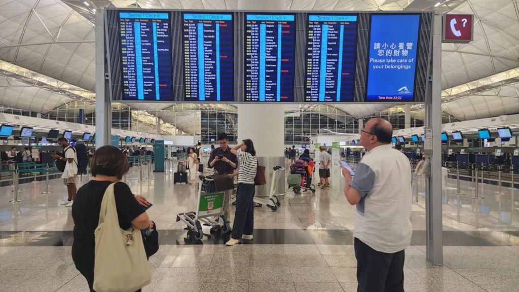
Typhoon Jangmi disrupts HK -Japan flights, multiple cancellations on June 3
03-06-2026 04:11 HKT









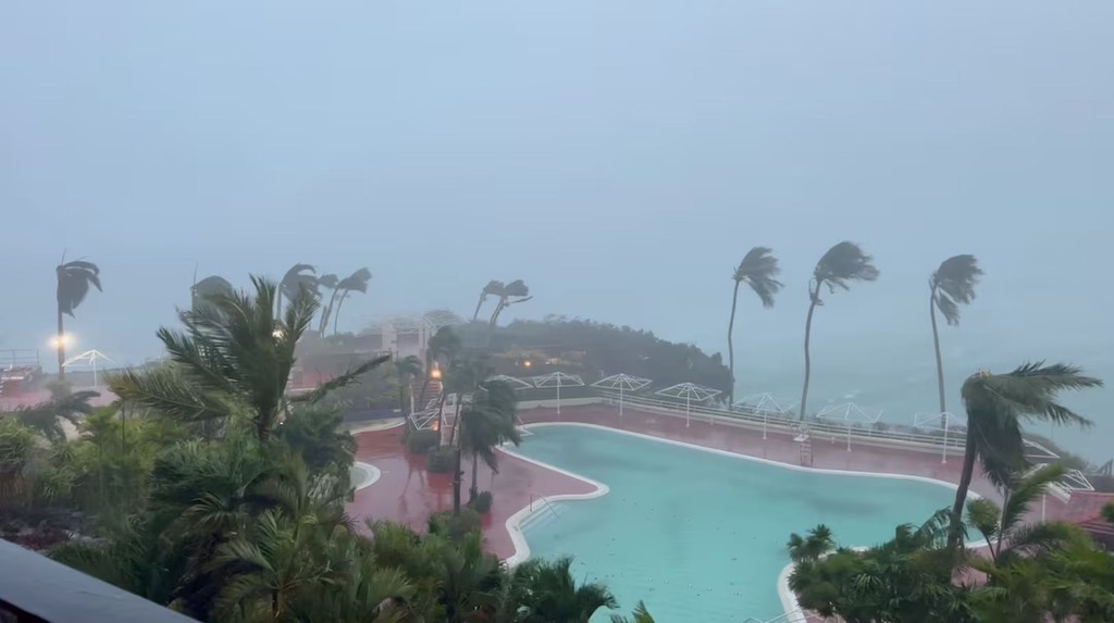
Typhoon Jangmi, the sixth typhoon of the year, is intensifying and heading at full force towards Okinawa, Amami and southern Kyushu, with the worst wind and rain expected on June 1-2 before the storm turns northeast, potentially affecting western and eastern Japan around June 3, Japanese meteorological agencies said.
The typhoon had a central pressure of 980 hectopascals as of Sunday, with maximum sustained winds of 30 metres per second (108km/h) and maximum gusts of 45m/s (162km/h). As Jangmi approaches, winds are forecast to strengthen to average speeds of 35m/s (126km/h) with gusts up to 50m/s (180km/h), equivalent to force 17 or above on the Beaufort scale. Experts warn such winds can topple utility poles, rip building facades and even overturn vehicles.
Okinawa is expected to receive up to 250mm of rain by Monday evening, with totals possibly reaching 300mm in the Tokai, Kinki and Izu islands by Wednesday evening. Waves of up to 10 metres are expected off the coasts of Okinawa, Amami and southern Kyushu, with storm surge warnings possible.
Japanese media have compared Jangmi to Typhoon Mawar, which killed six people and left three missing in June 2023.