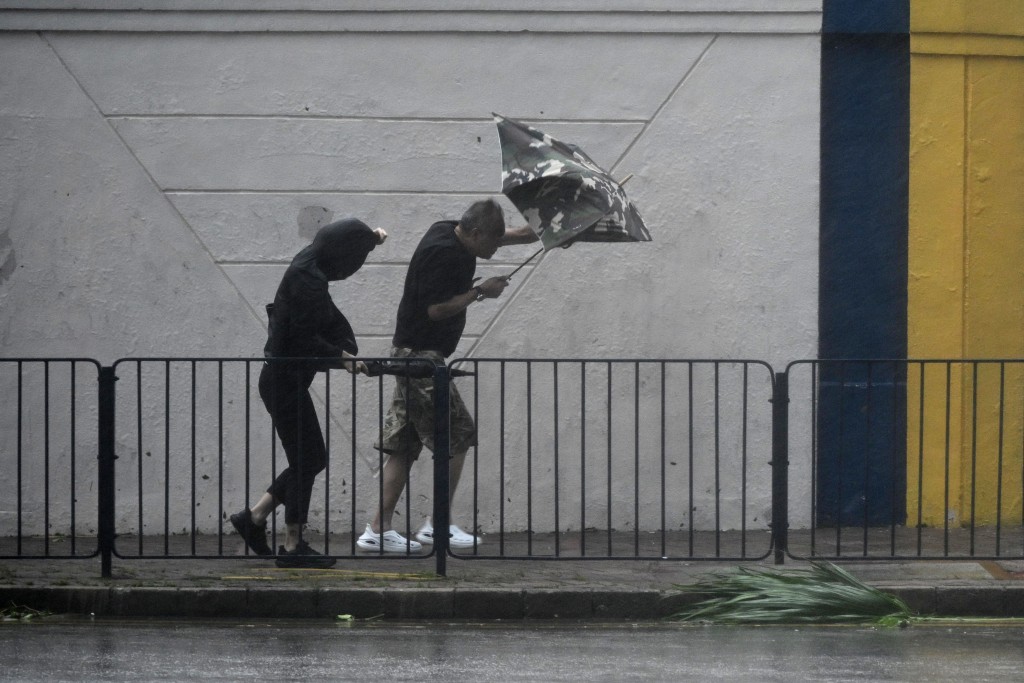
Hong Kong may face another tropical cyclone near the Mid-Autumn Festival after super typhoon Ragasa hit the city last week.
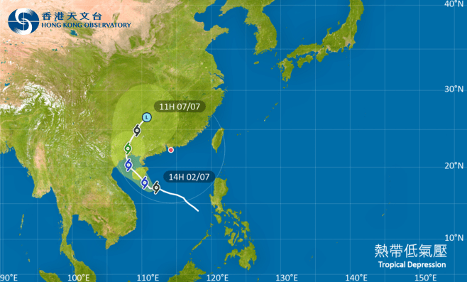
The Hong Kong Observatory predicts a low-pressure area will gradually develop into a tropical cyclone over the waters east of the Philippines by mid-week, edging closer to Luzon and entering the South China Sea afterwards.
The system is expected to move along the vicinity of the western coast of Guangdong to the eastern part of Hainan Island, but its intensity remains uncertain.
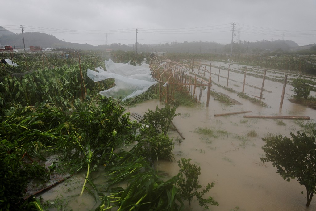
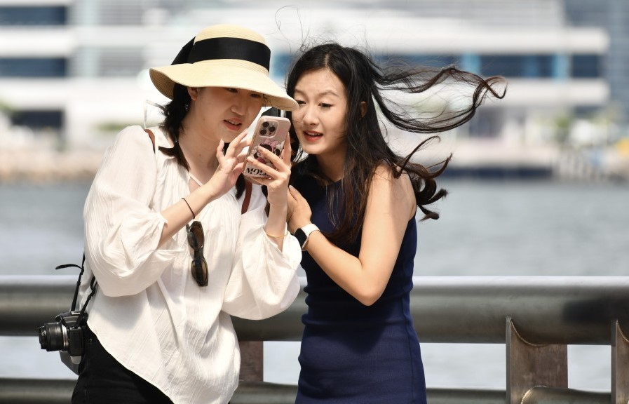
The observatory said that under its influence, southern China will experience strong winds and showers with swells over the weekend.
With the anticyclone aloft strengthening again, showers will ease off over the coast of Guangdong on the Mid-Autumn Festival (Oct 6) and the day after.
However, the forecast for the Mid-Autumn Festival is generally cloudy with a few showers, which may affect moon watching.
Meanwhile, the weather watchdog said that tropical cyclone Bualoi will move across the northern part of Vietnam today and tomorrow (Sep 30), moving into the inland areas of Indo-China and dissipating gradually.
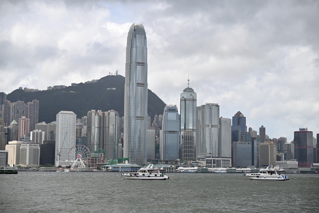
The upper-level anticyclone will bring sunny and hot weather to Guangdong in the coming days, with a high of 33 degrees Celsius in the city from tomorrow to Saturday (Oct 4).
Computer models, including the Pangu system, suggest that the tropical cyclone will pass about 400 kilometers south of Hong Kong on Saturday afternoon and move northwestward toward Hainan Island.
The Fengwu and Pangu models predict the tropical cyclone to be stronger, possibly a severe tropical storm, while the Fuxi and AIFS models expect it to be a tropical storm. Therefore, the outer ends of their circulations may not affect Hong Kong.
The observatory's nine-day forecast indicates offshore and high-ground winds in Hong Kong will occasionally reach Force 6 on Saturday, with sunny periods and a few showers and isolated squally thunderstorms later.
High-ground winds will reach Force 7 at the beginning of Sunday (Oct 5). The weather will be mainly cloudy with occasional showers, squally thunderstorms, and swells.
According to the Beaufort Scale, Force 6 winds blow at 40 to 50 kilometers per hour, while Force 7 reaches 51 to 62 kilometers per hour, equivalent to Strong Wind Signal 3.
The city has been impacted by 11 tropical cyclones this year, tying with 1974 for the highest number of such events since World War II, with the potential for a new record if another storm prompts a warning signal from the observatory.