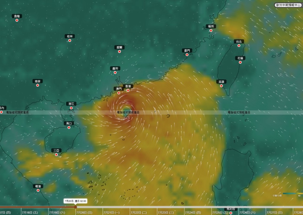
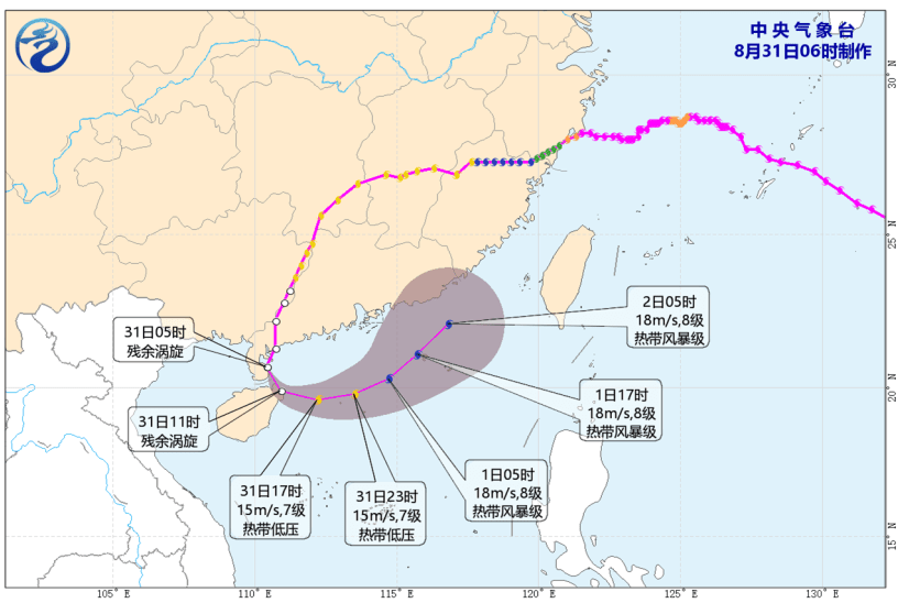
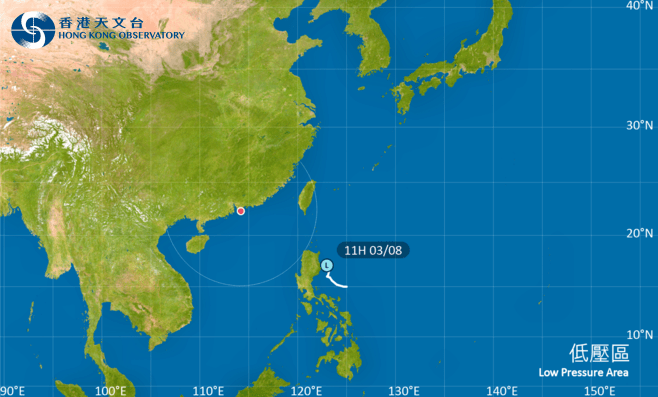
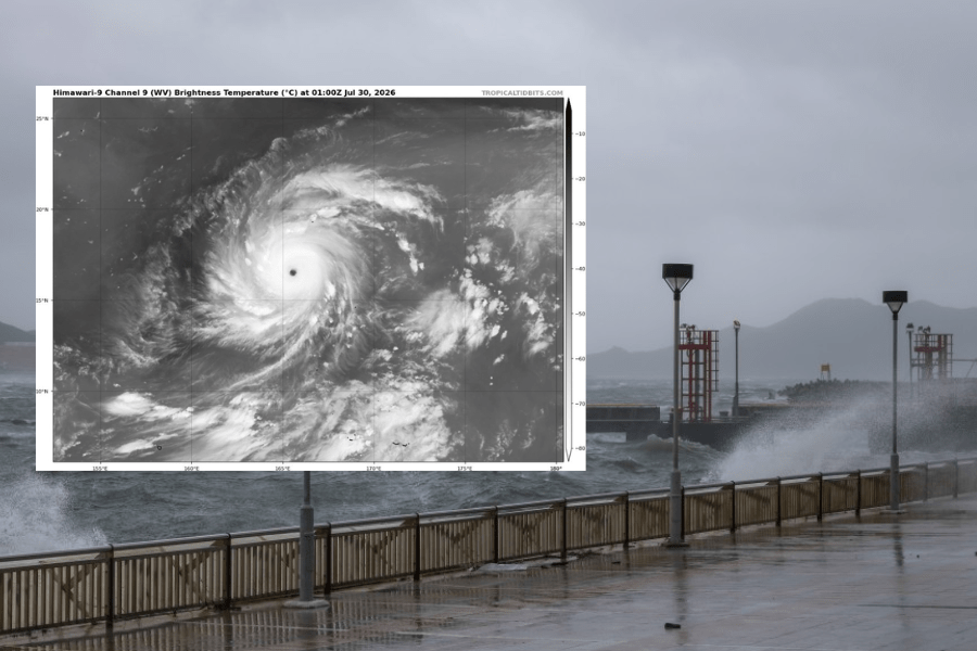
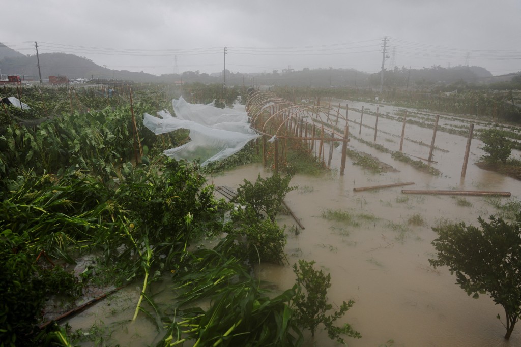
Hong Kong might see another typhoon signal hoisted later this week, as a broad area of low pressure over the seas east of the Philippines is projected to develop into a tropical cyclone, according to the Hong Kong Observatory (HKO).
While the storm is likely to edge closer to Luzon before moving into the northern South China Sea, the weather watchdog cautioned that uncertainties remain regarding its path and intensity.
Hot temperature later this week
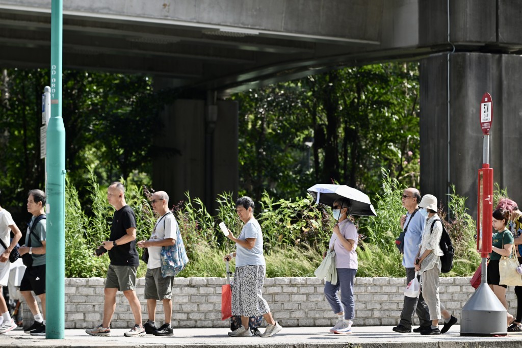
Before the typhoon arrives, hot weather will persist in the Guangdong region over the next couple of days under the influence of an anticyclone.
The nine-day weather forecast indicates temperatures in urban areas are expected to reach 35 degrees Celsius on Thursday (July 17) and Friday (July 18), with some areas in the New Territories possibly exceeding 36 degrees and Sheung Shui even reaching 37 degrees.
As the tropical cyclone approaches, it is expected to bring showers and squally thunderstorms to the coast of Guangdong and the northern part of South China from the weekend into early next week.
Meanwhile, the city will continue to experience showers in the middle of next week due to a broad trough of low pressure.
According to the Observatory’s artificial intelligence model, Pangu and Fuxi, the tropical cyclone may arrive in Hong Kong earlier than previously forecasted, with the latest prediction indicating it will be closest to the city on Saturday night (July 19) to Sunday morning (July 20).
The European Centre for Medium-Range Weather Forecasts (ECMWF) also suggests a similar prediction, where the tropical cyclone is expected to cross the city during Saturday night (July 19) and early Sunday morning (July 20), moving west toward Zhanjiang.
Winds may reach typhoon Signal No. 3 level
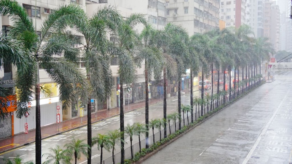
The nine-day weather forecast also indicated cloudy weather with occasional showers and squally thunderstorms on Sunday (July 20) and Monday (July 21), with the possibility of heavy rainfall at times.
Strong winds of up to Force 6 are anticipated on Sunday (July 20), with offshore and high ground areas potentially reaching Force 7, equivalent to the wind force associated with a Signal No. 3 typhoon.