The Strong Wind Signal, No. 3 has been issued at 7.40 pm to replace the No. 8 Southeast Gale or Storm Signal as Typhoon Wipha is moving further away from Hong Kong and weakening, the Observatory said.
The announcement came after the T8 signal was hoisted at 4.10 pm, lowered from the Hurricane Signal, No. 10 that has been issued for nearly seven hours since 9.20 am.
At 8 pm, Wipha was estimated to be about 210 kilometres west-southwest of Hong Kong and is forecast to move west at about 22 kilometres per hour skirting the vicinity of the coast of western Guangdong.
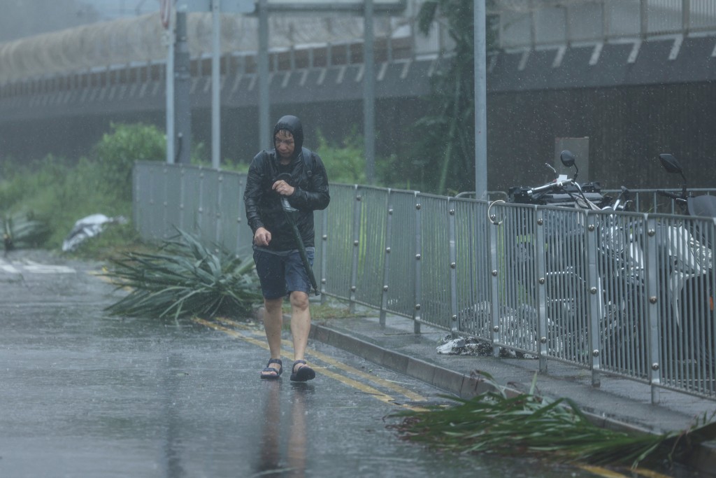
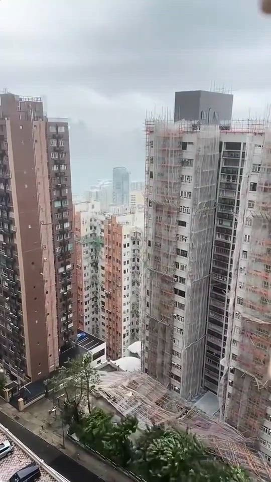
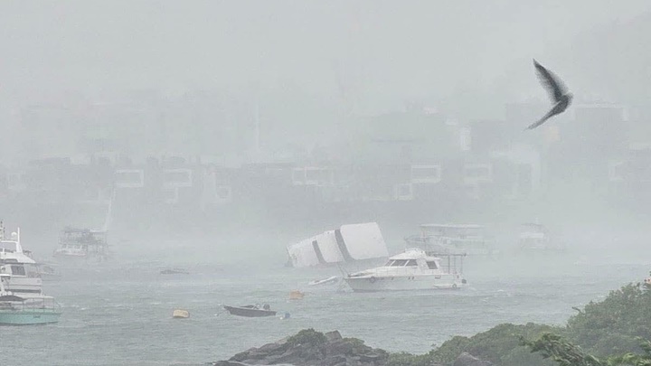
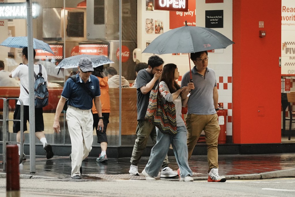
The forecaster stated that strong winds continue to prevail over many areas, with occasional gale-force winds in the southwestern part of the city and on high ground.
The T3 signal is expected to remain in force for some time. When the threat posed to Hong Kong by Wipha is further reduced, the weather watchdog will issue the Standby Signal, No. 1 or replace the Tropical Cyclone Warning Signal by the Strong Monsoon Signal.
Under the influence of the outer rainbands of Wipha, there will still be squally showers over the vicinity of the Pearl River Estuary on Sunday night and Monday (Jul 21).
Members of the public are advised to stay away from the shoreline and not engage in water sports.
Wipha compares to the past T10 Typhoons| Year | Intensity | Typhoon | Maximum wind |
| 2012 | Severe Typhoon | Vicente | 117 |
| 2017 | Super Typhoon | Hato | 122 |
| 2018 | Super Typhoon | Mangkhut | 169 |
| 2023 | Super Typhoon | Saola | 122 |
| 2025 | Typhoon | Wipha | TBA |
(Updated at 7.42pm)